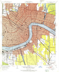
1951 Map of New Orleans East
USGS Topo · Published 1953About this map
The Mississippi River creates the defining crescent of New Orleans in this mid-century survey, revealing a city shaped by its intricate water management and navigation infrastructure. Urban development is densely packed along the riverfront from Gretna to Marrero on the West Bank, while the East Bank shows the established grid expanding toward Lake Pontchartrain. The map provides a detailed view of the city's complex drainage and shipping network, including the Inner Harbor Navigation Canal and several pumping stations that maintain the city's elevation below sea level.
Find a feature on this map
76 named features on this map. Tap any name to fly to it.
Don’t see what you’re looking for? This feature index may not catch every label — zoom into the map to look around manually.
Map Details
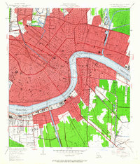
Editions of this 1951 New Orleans East Map
2 editions found
Other maps of this area

1891 · Spanish Fort
USGS Topo · 1:62,500

1891 · New Orleans
USGS Topo · 1:62,500

1892 · Chef Menteur
USGS Topo · 1:62,500

1892 · St. Bernard
USGS Topo · 1:62,500

1932 · New Orleans NE
USGS Topo · 1:31,680

1932 · New Orleans NW
USGS Topo · 1:31,680

1932 · New Orleans SE
USGS Topo · 1:31,680

1932 · New Orleans SW
USGS Topo · 1:31,680

1936 · Chef Menteur
USGS Topo · 1:62,500

1936 · Spanish Fort
USGS Topo · 1:62,500