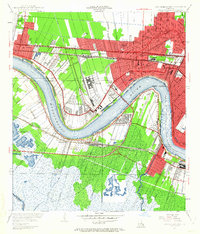
1951 Map of New Orleans West
USGS Topo · Published 1963About this map
The Mississippi River creates a massive, sweeping oxbow that dictates the industrial and residential development of western Jefferson Parish. This mid-century landscape is defined by its sophisticated drainage and transportation networks, where several major railroads including the Illinois Central Railroad and Southern Pacific Railroad converge near the river's edge. The north is characterized by the expansive grounds of Moisant Airport and established social landmarks like the Metairie Golf Club, while the south bank near Westwego and Avondale shows a more industrial character with the Avondale Canal and the extensive marshlands of Churchill Farms. The Huey P Long Bridge provides the critical connection between these two worlds, spanning the river as the city of New Orleans begins its dense expansion into Orleans Parish at Audubon Park.
Find a feature on this map
75 named features on this map. Tap any name to fly to it.
Don’t see what you’re looking for? This feature index may not catch every label — zoom into the map to look around manually.
Map Details
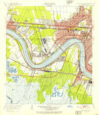
Editions of this 1951 New Orleans West Map
2 editions found
Other maps of this area

1891 · Hahnville
USGS Topo · 1:62,500

1891 · Spanish Fort
USGS Topo · 1:62,500

1891 · New Orleans
USGS Topo · 1:62,500

1892 · Bonnet Carre
USGS Topo · 1:62,500

1932 · New Orleans NE
USGS Topo · 1:31,680

1932 · New Orleans NW
USGS Topo · 1:31,680

1932 · New Orleans SE
USGS Topo · 1:31,680

1932 · New Orleans SW
USGS Topo · 1:31,680

1932 · Hahnville NE
USGS Topo · 1:31,680

1935 · Luling
USGS Topo · 1:31,680