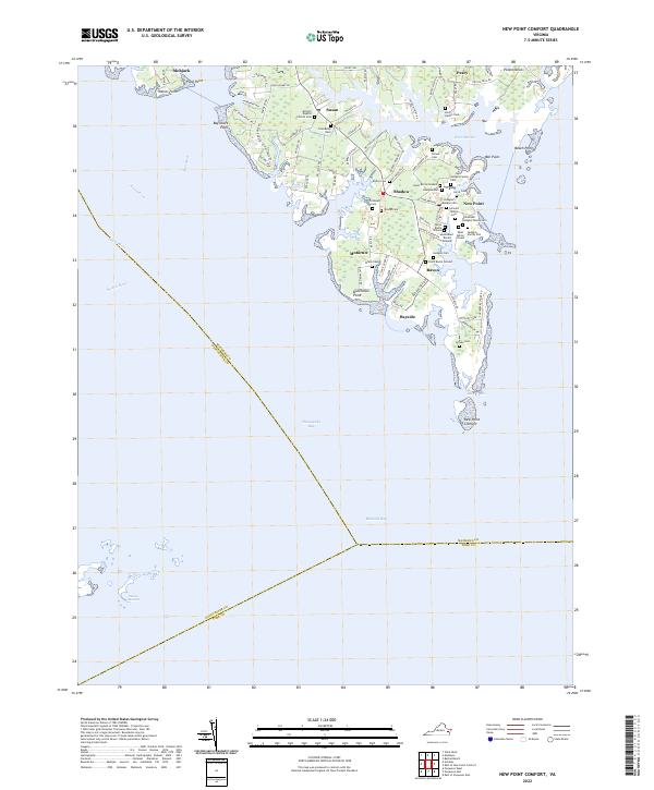
2022 Map of New Point Comfort
USGS Topo · Published 2022About this map
New Point Comfort marks the southern tip of the Mathews County peninsula, where the waters of Mobjack Bay meet the Chesapeake Bay. This maritime landscape is defined by its intricate network of tidal inlets and creeks, including Horn Harbor, Doctors Creek, and the East River. Small residential clusters like Bavon, Shadow, and Susan are scattered throughout the low-lying terrain, linked by narrow roads such as Potato Neck Rd and Bayside Dr.
Find a feature on this map
92 named features on this map. Tap any name to fly to it.
Don’t see what you’re looking for? This feature index may not catch every label — zoom into the map to look around manually.
Map Details
Editions of this 2022 New Point Comfort Map
This is the sole edition of this map. No revisions or reprints were ever made.
Historical Maps of Bavon Through Time
8 maps found
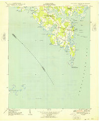
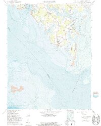
1948 New Point Comfort
Mathews County, VA
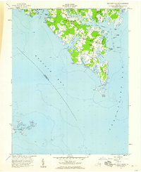
1957 New Point Comfort
Mathews County, VA
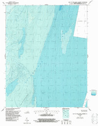
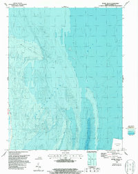
1964 East of New Point Comfort
Mathews County, VA
1964 New Point Comfort
Mathews County, VA
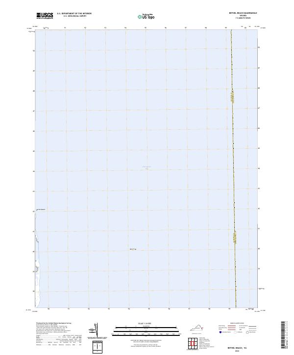
1965 Bethel Beach
Mathews County, VA
2022 Bethel Beach
Mathews County, VA
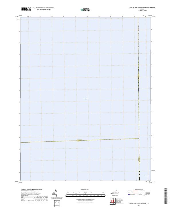
2022 East of New Point Comfort
Mathews County, VA
2022 New Point Comfort
Mathews County, VA