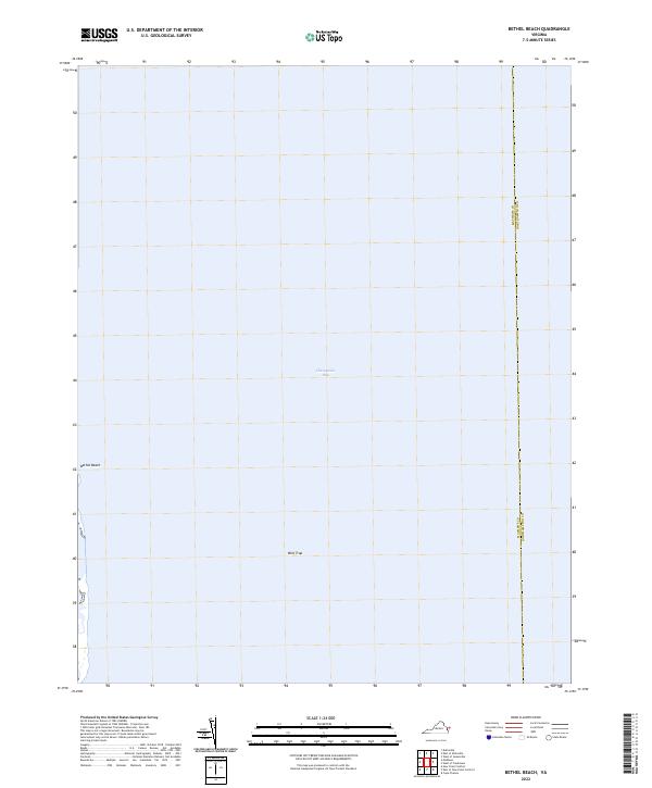
2022 Map of Bethel Beach
USGS Topo · Published 2022About this map
Chesapeake Bay dominates this coastal survey, where the watery boundary between Mathews and Northampton counties meets the open sea. The map focuses on the eastern edge of the Virginia shoreline at Bethel Beach, a distinct coastal landform exposed to the tides. This area represents a critical maritime interface, defined more by its hydrography than by terrestrial development. The presence of Wolf Trap in the offshore waters highlights the navigational character of the region, marking a specific point of interest for those studying the maritime history and changing shorelines of the lower bay.
Find a feature on this map
3 named features on this map. Tap any name to fly to it.
Don’t see what you’re looking for? This feature index may not catch every label — zoom into the map to look around manually.
Map Details
Editions of this 2022 Bethel Beach Map
This is the sole edition of this map. No revisions or reprints were ever made.
Historical Maps of Northampton County Through Time
8 maps found
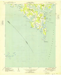
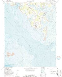
1948 New Point Comfort
Mathews County, VA
1957 New Point Comfort
Mathews County, VA
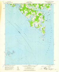
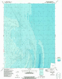
1964 East of New Point Comfort
Mathews County, VA
1964 New Point Comfort
Mathews County, VA
1965 Bethel Beach
Mathews County, VA
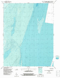
2022 Bethel Beach
Mathews County, VA
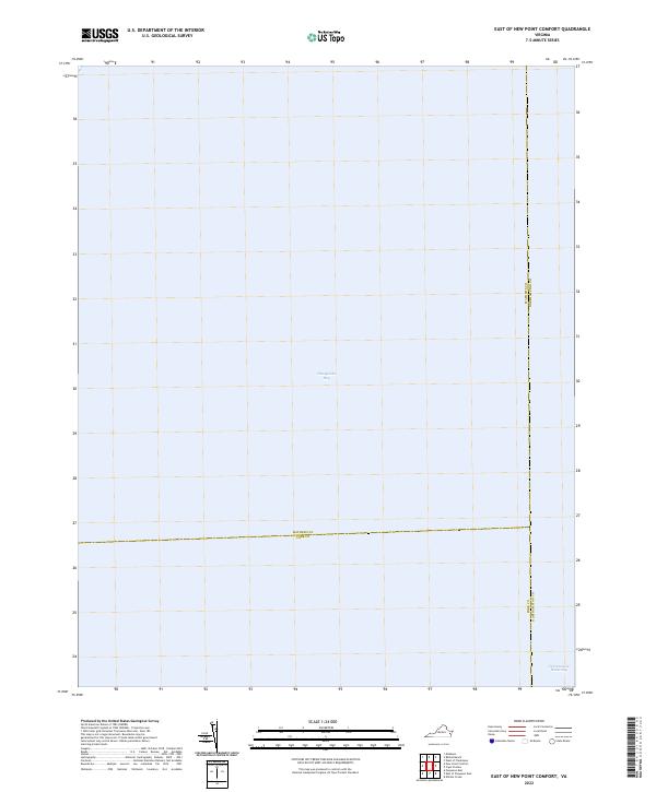
2022 East of New Point Comfort
Mathews County, VA
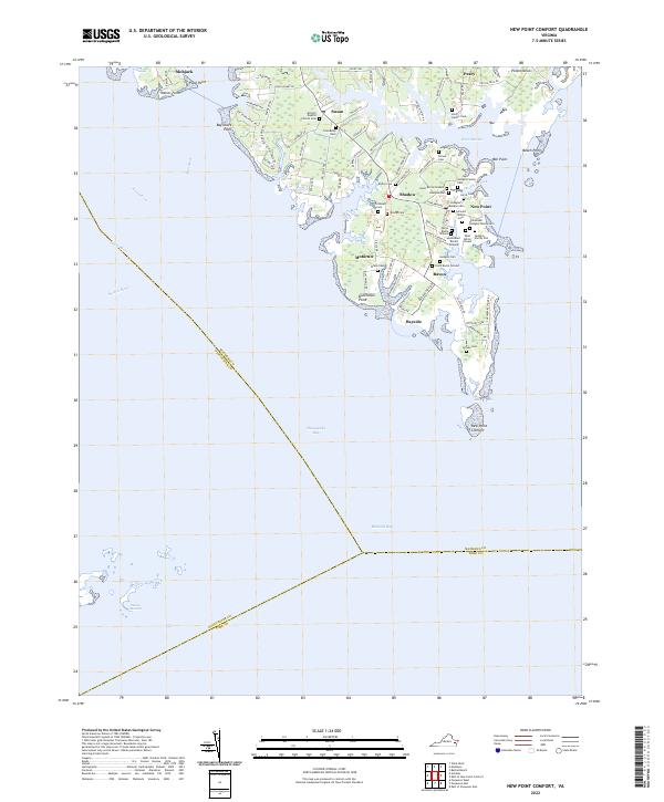
2022 New Point Comfort
Mathews County, VA