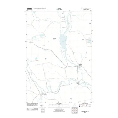
2011 Map of New Portland
USGS Topo · Published 2011About this map
The Carrabassett River winds through the heart of this Franklin County landscape, shaping a series of distinct villages including New Portland, East New Portland, and North New Portland. The region is defined by its water systems and the hills that rise above them, most notably Gilman Pond Mountain and Brackett Hill. A significant landmark of local engineering and history is the New Portland Wire Bridge, which spans the river near the Dirigo Dowel Dam.
Find a feature on this map
69 named features on this map. Tap any name to fly to it.
Don’t see what you’re looking for? This feature index may not catch every label — zoom into the map to look around manually.
Map Details
Editions of this 2011 New Portland Map
This is the sole edition of this map. No revisions or reprints were ever made.
Other maps of this area

1903 · Bingham
USGS Topo · 1:62,500

1904 · Anson
USGS Topo · 1:62,500

1905 · Bingham
USGS Topo · 1:62,500

1928 · Dead River
USGS Topo · 1:62,500

1930 · Kingfield
USGS Topo · 1:48,000

1931 · Dead River
USGS Topo · 1:48,000

1932 · Kingfield
USGS Topo · 1:62,500

1944 · Dead River
USGS Topo · 1:62,500

1948 · Bangor
USGS Topo · 1:250,000

1949 · Jackman
USGS Topo · 1:250,000