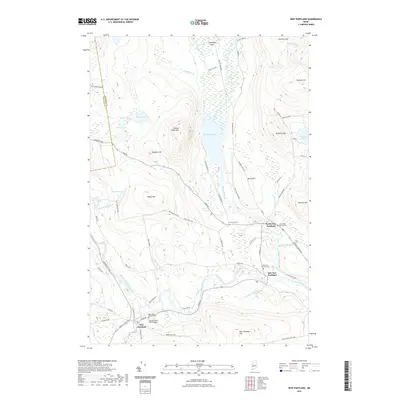
2021 Map of New Portland
USGS Topo · Published 2021About this map
Lexington Flats and the triple settlements of the New Portlands anchor this survey of the Maine interior, where the Carrabassett River and Gilman Stream define the valley floor. The landscape is characterized by a high density of family-named heights such as Millay Hill, Goodrich Hill, and Brackett Hill, which rise above the wetlands of Sucker Brook and Sandy Stream. A significant landmark of local engineering, the New Portland Wire Bridge, spans the river near the junction of Wire Bridge Rd and River Rd. The settlement pattern follows the waterways and the early road network, including Lexington Rd and Old Co Rd, while several community burial grounds like North New Portland Cem and Greenleaf Cem provide essential data points for local genealogy and land-use history.
Find a feature on this map
76 named features on this map. Tap any name to fly to it.
Don’t see what you’re looking for? This feature index may not catch every label — zoom into the map to look around manually.
Map Details
Editions of this 2021 New Portland Map
This is the sole edition of this map. No revisions or reprints were ever made.
Other maps of this area

1903 · Bingham
USGS Topo · 1:62,500

1904 · Anson
USGS Topo · 1:62,500

1905 · Bingham
USGS Topo · 1:62,500

1928 · Dead River
USGS Topo · 1:62,500

1930 · Kingfield
USGS Topo · 1:48,000

1931 · Dead River
USGS Topo · 1:48,000

1932 · Kingfield
USGS Topo · 1:62,500

1944 · Dead River
USGS Topo · 1:62,500

1948 · Bangor
USGS Topo · 1:250,000

1949 · Jackman
USGS Topo · 1:250,000