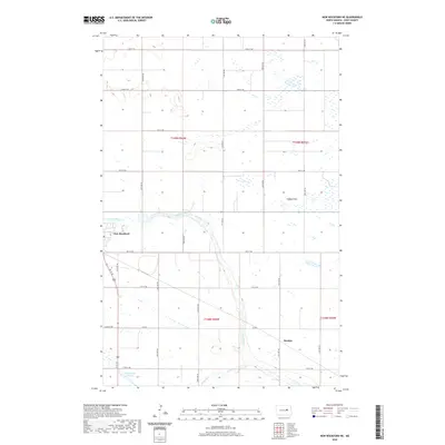
2020 Map of New Rockford NE
USGS Topo · Published 2020About this map
The James River meanders through the central and southern portions of this Eddy County landscape, shaping a terrain defined by glacial wetlands and low-lying plains. The settlement of New Rockford sits on the western edge of the map, serving as a primary hub for the surrounding agricultural sections. To the southeast, the small community of Dundas is positioned near the river's path, highlighting the early reliance on water sources for settlement placement in the North Dakota prairie.
Find a feature on this map
27 named features on this map. Tap any name to fly to it.
Don’t see what you’re looking for? This feature index may not catch every label — zoom into the map to look around manually.
Map Details
Editions of this 2020 New Rockford NE Map
This is the sole edition of this map. No revisions or reprints were ever made.
Other maps of this area

1928 · Tokio
USGS Topo · 1:62,500

1931 · Oberon
USGS Topo · 1:62,500

1931 · Tokio
USGS Topo · 1:62,500

1944 · Brantford
USGS Topo · 1:62,500

1946 · Brantford
USGS Topo · 1:62,500

1948 · New Rockford
USGS Topo · 1:62,500

1950 · New Rockford
USGS Topo · 1:24,000

1950 · New Rockford NE
USGS Topo · 1:24,000

1950 · Oberon SW
USGS Topo · 1:24,000

1950 · Brantford NW
USGS Topo · 1:24,000