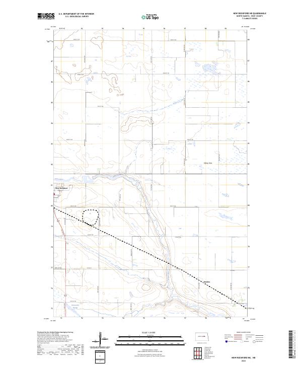
2024 Map of New Rockford NE
USGS Topo · Published 2024About this map
The James River winds through this central North Dakota landscape, anchoring the regional geography of Eddy County. In the southwest corner, the city of New Rockford serves as a primary settlement, while the smaller locale of Dundas is situated further east along a corridor of local thoroughfares. This area is characterized by a series of low-lying wetlands and alluvial features, notably the Schwoebel Slough and the level terrain of Tiffany Flats.
Find a feature on this map
26 named features on this map. Tap any name to fly to it.
Don’t see what you’re looking for? This feature index may not catch every label — zoom into the map to look around manually.
Map Details
Editions of this 2024 New Rockford NE Map
This is the sole edition of this map. No revisions or reprints were ever made.
Other maps of this area

1928 · Tokio
USGS Topo · 1:62,500

1931 · Oberon
USGS Topo · 1:62,500

1931 · Tokio
USGS Topo · 1:62,500

1944 · Brantford
USGS Topo · 1:62,500

1946 · Brantford
USGS Topo · 1:62,500

1948 · New Rockford
USGS Topo · 1:62,500

1950 · New Rockford
USGS Topo · 1:24,000

1950 · New Rockford NE
USGS Topo · 1:24,000

1950 · Oberon SW
USGS Topo · 1:24,000

1950 · Brantford NW
USGS Topo · 1:24,000