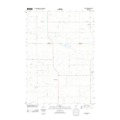
2013 Map of New Sweden
USGS Topo · Published 2013About this map
New Sweden anchors this agricultural landscape along the boundary of Sibley Co and Nicollet Co, where the natural drainage of the Middle Br Rush River and S Br Rush River is supplemented by an extensive system of engineered waterways. The presence of several established burial grounds, including Scandian Grove Cem, Trinity Lutheran Cem, and Goodman Cem, suggests a long-standing community tied to the land's heritage. The terrain is characterized by numerous small depressions and lakes like Rice Lake and Plaman Lake, common in this glaciated region. This modern survey reflects the persistence of rural township life and the modification of the watershed via features such as Judicial Ditch Number Fifteen and County Ditch Number Seventy-eight, which support the intensive farming found throughout the area.
Find a feature on this map
38 named features on this map. Tap any name to fly to it.
Don’t see what you’re looking for? This feature index may not catch every label — zoom into the map to look around manually.
Map Details
Editions of this 2013 New Sweden Map
This is the sole edition of this map. No revisions or reprints were ever made.
Other maps of this area

1953 · New Ulm
USGS Topo · 1:250,000

1957 · New Ulm
USGS Topo · 1:250,000

1958 · New Ulm
USGS Topo · 1:250,000

1958 · Gaylord
USGS Topo · 1:62,500

1958 · Winthrop
USGS Topo · 1:62,500

1964 · Bernadotte
USGS Topo · 1:24,000

1964 · Courtland
USGS Topo · 1:24,000

1965 · Norseland
USGS Topo · 1:24,000

1965 · New Sweden
USGS Topo · 1:24,000

1965 · North Star
USGS Topo · 1:24,000