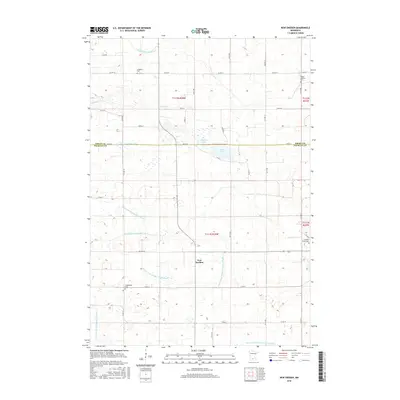
2016 Map of New Sweden
USGS Topo · Published 2016About this map
New Sweden sits at the heart of this agricultural landscape in Nicollet County, reflecting the deep Scandinavian heritage of the region. The map documents a territory defined by an intricate network of managed waterways, including Judicial Ditch Number Fifteen and County Ditch Number Twentyseven A, which allow for the cultivation of the surrounding prairie. This hydrographic system connects natural features like Rice Lake and Plaman Lake with the drainage of the Middle Br Rush River. For genealogists, the map is particularly valuable as it locates several rural burial sites, including Scandian Grove Cem, Trinity Lutheran Cem, and Goodman Cem. These landmarks, along with Greenwood Cem to the south, mark the locations of early immigrant congregations and settlements that continue to shape the local identity in southern Minnesota.
Find a feature on this map
34 named features on this map. Tap any name to fly to it.
Don’t see what you’re looking for? This feature index may not catch every label — zoom into the map to look around manually.
Map Details
Editions of this 2016 New Sweden Map
This is the sole edition of this map. No revisions or reprints were ever made.
Other maps of this area

1953 · New Ulm
USGS Topo · 1:250,000

1957 · New Ulm
USGS Topo · 1:250,000

1958 · New Ulm
USGS Topo · 1:250,000

1958 · Gaylord
USGS Topo · 1:62,500

1958 · Winthrop
USGS Topo · 1:62,500

1964 · Bernadotte
USGS Topo · 1:24,000

1964 · Courtland
USGS Topo · 1:24,000

1965 · Norseland
USGS Topo · 1:24,000

1965 · New Sweden
USGS Topo · 1:24,000

1965 · North Star
USGS Topo · 1:24,000