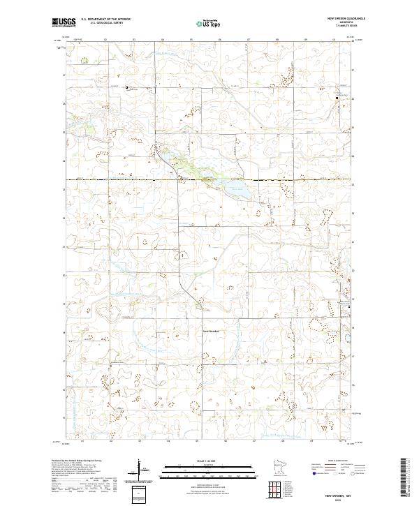
2022 Map of New Sweden
USGS Topo · Published 2022About this map
New Sweden anchors this agricultural landscape on the border of Nicollet and Sibley counties, where the Swedish heritage of the region is preserved through significant local landmarks. The map documents a community defined by its spiritual and genealogical foundations, specifically through sites like the Scandian Grove Lutheran Ch and its associated Scandian Grove Lutheran Cem, along with the Trinity Lutheran Ch further north. These institutions, alongside the Goodman Cem and Greenwood Cem, provide essential data points for local history and family research.
Find a feature on this map
33 named features on this map. Tap any name to fly to it.
Don’t see what you’re looking for? This feature index may not catch every label — zoom into the map to look around manually.
Map Details
Editions of this 2022 New Sweden Map
This is the sole edition of this map. No revisions or reprints were ever made.
Other maps of this area

1953 · New Ulm
USGS Topo · 1:250,000

1957 · New Ulm
USGS Topo · 1:250,000

1958 · New Ulm
USGS Topo · 1:250,000

1958 · Gaylord
USGS Topo · 1:62,500

1958 · Winthrop
USGS Topo · 1:62,500

1964 · Bernadotte
USGS Topo · 1:24,000

1964 · Courtland
USGS Topo · 1:24,000

1965 · Norseland
USGS Topo · 1:24,000

1965 · New Sweden
USGS Topo · 1:24,000

1965 · North Star
USGS Topo · 1:24,000