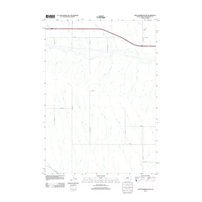
2012 Map of New Underwood SW
USGS Topo · Published 2012About this map
Boxelder Cr meanders across the northern portion of this Pennington County landscape, defining the local drainage patterns in an area primarily organized by a strict section-line road grid. The map highlights the transition between agricultural ranch land and the infrastructure of modern transit, with Hwy-1416 running parallel to a major highway corridor. In the southern reaches, the Lone Tree Ditch and the curve of Caputa Loop reflect the early development of water management and local connectivity near the edge of the quadrangle. Other prominent local routes such as Tollinger Rd, Christman Rd, and Long View Rd provide a clear view of how rural properties were accessed and partitioned in the early 21st century.
Find a feature on this map
18 named features on this map. Tap any name to fly to it.
Don’t see what you’re looking for? This feature index may not catch every label — zoom into the map to look around manually.
Map Details
Editions of this 2012 New Underwood SW Map
This is the sole edition of this map. No revisions or reprints were ever made.
Other maps of this area

1893 · Rapid
USGS Topo · 1:125,000

1894 · Hermosa
USGS Topo · 1:125,000

1898 · Rapid
USGS Topo · 1:125,000

1901 · Hermosa
USGS Topo · 1:125,000

1903 · Rapid
USGS Topo · 1:125,000

1953 · Bend
USGS Topo · 1:24,000

1953 · Viewfield
USGS Topo · 1:24,000

1953 · Boxelder
USGS Topo · 1:24,000

1953 · New Underwood
USGS Topo · 1:24,000

1953 · New Underwood SW
USGS Topo · 1:24,000