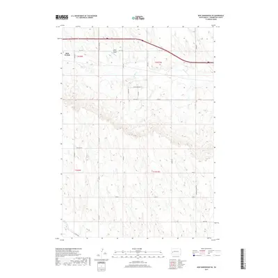
2017 Map of New Underwood SW
USGS Topo · Published 2017About this map
Box Elder and the surrounding rangelands of Pennington County are captured here in a 2017 survey, showing a landscape defined by modern rural development and historic ranching routes. The area is divided by the meandering path of Boxelder Cr, which cuts through the high plains north of the Lone Tree Ditch. Transport is anchored by Hwy 1416 and Interstate 90, which bisect the northern portion of the sheet near several residential developments including Justice Ln and Longview Dr.
Find a feature on this map
29 named features on this map. Tap any name to fly to it.
Don’t see what you’re looking for? This feature index may not catch every label — zoom into the map to look around manually.
Map Details
Editions of this 2017 New Underwood SW Map
This is the sole edition of this map. No revisions or reprints were ever made.
Other maps of this area

1893 · Rapid
USGS Topo · 1:125,000

1894 · Hermosa
USGS Topo · 1:125,000

1898 · Rapid
USGS Topo · 1:125,000

1901 · Hermosa
USGS Topo · 1:125,000

1903 · Rapid
USGS Topo · 1:125,000

1953 · Bend
USGS Topo · 1:24,000

1953 · Viewfield
USGS Topo · 1:24,000

1953 · Boxelder
USGS Topo · 1:24,000

1953 · New Underwood
USGS Topo · 1:24,000

1953 · New Underwood SW
USGS Topo · 1:24,000