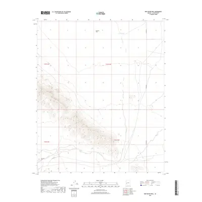
2018 Map of New Water Well
USGS Topo · Published 2018About this map
New Water Well serves as a lonely human marker in this arid reach of La Paz County, where the desert floor meets rising mountain slopes. The landscape is defined by the broad expanse of the Ranegras Plain to the north, which is carved by the seasonal drainage of the Alamo Wash. This ephemeral waterway winds through the terrain, eventually passing near the Crowder Tank, a critical water management feature for the region's ranching or wildlife needs. Transportation through this remote section of the Arizona desert is facilitated by the north-south transit of Vicksburg Rd and the more rugged Wil Banks Rd, which skirts the southern foothills. The map provides a clear look at the township and range boundaries, including t3n r16w and t2n r15w, showing the precise surveying of these public lands.
Find a feature on this map
10 named features on this map. Tap any name to fly to it.
Don’t see what you’re looking for? This feature index may not catch every label — zoom into the map to look around manually.
Map Details
Editions of this 2018 New Water Well Map
This is the sole edition of this map. No revisions or reprints were ever made.
Other maps of this area

1942 · Vicksburg
USGS Topo · 1:250,000

1954 · Phoenix
USGS Topo · 1:250,000

1957 · Phoenix
USGS Topo · 1:250,000

1958 · Phoenix
USGS Topo · 1:250,000

1960 · Phoenix
USGS Topo · 1:250,000

1961 · Hope
USGS Topo · 1:62,500

1962 · Little Horn Mts
USGS Topo · 1:62,500

1962 · Kofa Butte
USGS Topo · 1:62,500

1962 · Vicksburg
USGS Topo · 1:62,500

1969 · Phoenix
USGS Topo · 1:250,000