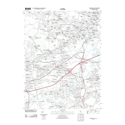
2011 Map of Newark East
USGS Topo · Published 2011About this map
The suburban landscape of New Castle County unfolds east of Newark, revealing a complex network of residential developments and institutional facilities. The University of Delaware Bob Carpenter Center and the Delaware Technology Park anchor the western portion of the map, illustrating the region's mid-century and modern expansion around the university core. Several historic burial grounds, including Ebenezer Cemetery and Salem Methodist Cemetery, remain as markers of the area's older rural character amidst the growing communities of Marshallton and Mermaid.
Find a feature on this map
218 named features on this map. Tap any name to fly to it.
Don’t see what you’re looking for? This feature index may not catch every label — zoom into the map to look around manually.
Map Details
Editions of this 2011 Newark East Map
This is the sole edition of this map. No revisions or reprints were ever made.
Other maps of this area

1898 · Elkton
USGS Topo · 1:62,500

1900 · Elkton
USGS Topo · 1:62,500

1901 · West Chester
USGS Topo · 1:62,500

1904 · West Chester
USGS Topo · 1:62,500

1904 · Coatesville
USGS Topo · 1:62,500

1904 · Wilmington
USGS Topo · 1:62,500

1906 · Coatesville
USGS Topo · 1:62,500

1906 · Wilmington
USGS Topo · 1:62,500

1917 · Elkton
USGS Topo · 1:62,500

1918 · Coatesville
USGS Topo · 1:62,500