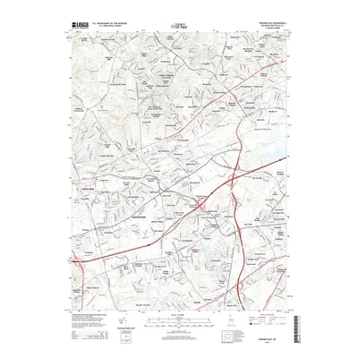
2014 Map of Newark East
USGS Topo · Published 2014About this map
White Clay Creek and Red Clay Creek define the drainage of this modern suburban landscape north of the Christina River. The 2014 survey documents the dense residential development characteristic of New Castle County, with named neighborhoods like Pike Creek Valley, Sherwood Park, and Brandywine Springs filling the spaces between arterial routes like the Robert W Kirkwood Hwy. Despite the extensive contemporary growth, the area’s earlier rural character is still visible in the scattered placement of historic sites such as Ebenezer Cem and Saint James Cem. To the east, the distinctively named Bread and Cheese Island sits at the confluence of the Red Clay and White Clay creeks, marking a transition in the terrain toward the Delmarva Peninsula.
Find a feature on this map
130 named features on this map. Tap any name to fly to it.
Don’t see what you’re looking for? This feature index may not catch every label — zoom into the map to look around manually.
Map Details
Editions of this 2014 Newark East Map
This is the sole edition of this map. No revisions or reprints were ever made.
Other maps of this area

1898 · Elkton
USGS Topo · 1:62,500

1900 · Elkton
USGS Topo · 1:62,500

1901 · West Chester
USGS Topo · 1:62,500

1904 · West Chester
USGS Topo · 1:62,500

1904 · Coatesville
USGS Topo · 1:62,500

1904 · Wilmington
USGS Topo · 1:62,500

1906 · Coatesville
USGS Topo · 1:62,500

1906 · Wilmington
USGS Topo · 1:62,500

1917 · Elkton
USGS Topo · 1:62,500

1918 · Coatesville
USGS Topo · 1:62,500