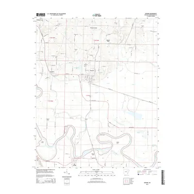
2014 Map of Newark
USGS Topo · Published 2014About this map
Newark and Magness serve as the primary population centers on this landscape, positioned north of the winding White River. The river's influence is evident in the complex drainage patterns and numerous islands, such as Padgett Island and Pleasant Island, along with notable geographic bends like Caster Bend and Hulsey Bend. The presence of Big Bottom Slough and Bear Wallow Slough suggests a low-lying, floodplain environment historically prone to seasonal shifts in water levels.
Find a feature on this map
109 named features on this map. Tap any name to fly to it.
Don’t see what you’re looking for? This feature index may not catch every label — zoom into the map to look around manually.
Map Details
Editions of this 2014 Newark Map
This is the sole edition of this map. No revisions or reprints were ever made.
Other maps of this area

1890 · Batesville
USGS Topo · 1:125,000

1891 · Batesville
USGS Topo · 1:125,000

1932 · Strawberry
USGS Topo · 1:62,500

1935 · Strawberry
USGS Topo · 1:62,500

1935 · Newport
USGS Topo · 1:62,500

1941 · Strawberry
USGS Topo · 1:62,500

1942 · Salado
USGS Topo · 1:31,680

1943 · Sulphur Rock
USGS Topo · 1:31,680

1953 · Memphis
USGS Topo · 1:250,000

1954 · Charlotte
USGS Topo · 1:24,000