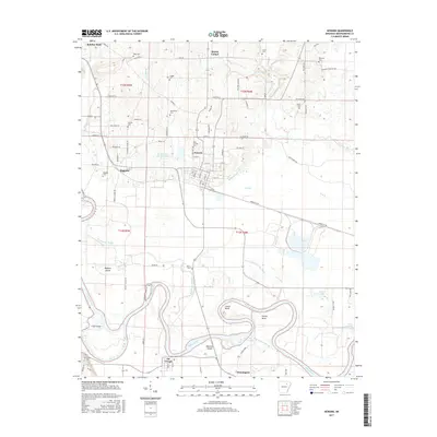
2017 Map of Newark
USGS Topo · Published 2017About this map
The White River winds through the southern landscape of Independence County, carving out distinct features like Caster Bend, Hulsey Bend, and Pleasant Island. This riparian environment is defined by its complex hydrology, where the Big Bottom Slough and Swan Lake Drainage Ditch manage water across the fertile lowlands. The settlement of Newark serves as a central hub, surrounded by smaller communities such as Magness and Oil Trough.
Find a feature on this map
62 named features on this map. Tap any name to fly to it.
Don’t see what you’re looking for? This feature index may not catch every label — zoom into the map to look around manually.
Map Details
Editions of this 2017 Newark Map
This is the sole edition of this map. No revisions or reprints were ever made.
Other maps of this area

1890 · Batesville
USGS Topo · 1:125,000

1891 · Batesville
USGS Topo · 1:125,000

1932 · Strawberry
USGS Topo · 1:62,500

1935 · Strawberry
USGS Topo · 1:62,500

1935 · Newport
USGS Topo · 1:62,500

1941 · Strawberry
USGS Topo · 1:62,500

1942 · Salado
USGS Topo · 1:31,680

1943 · Sulphur Rock
USGS Topo · 1:31,680

1953 · Memphis
USGS Topo · 1:250,000

1954 · Charlotte
USGS Topo · 1:24,000