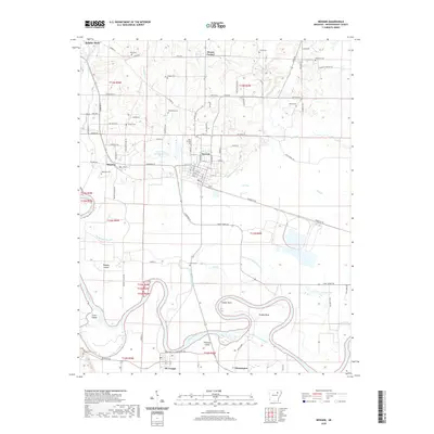
2020 Map of Newark
USGS Topo · Published 2020About this map
The White River winds through the southern half of this landscape, defining a complex system of islands and bends including Padgett Island, Crow Island, and Hulsey Bend. The river's influence on the local topography is evident in the numerous drainage features like the Swan Lake Drainage Ditch and Big Bottom Slough. Centrally located, Newark serves as a local hub, surrounded by smaller settlements such as Magness and Oil Trough. The map reveals a high density of rural burial sites, including the Blue Springs Cem, Macedonia Cem, and Akron Cem, which offer significant value for genealogical research in Independence County. North of the river, the Mud Cr Site One Reservoir and several named creeks, such as Dota Creek and Fivemile Cr, illustrate the local hydrology and its integration into the agricultural grid of the White River valley.
Find a feature on this map
90 named features on this map. Tap any name to fly to it.
Don’t see what you’re looking for? This feature index may not catch every label — zoom into the map to look around manually.
Map Details
Editions of this 2020 Newark Map
This is the sole edition of this map. No revisions or reprints were ever made.
Other maps of this area

1890 · Batesville
USGS Topo · 1:125,000

1891 · Batesville
USGS Topo · 1:125,000

1932 · Strawberry
USGS Topo · 1:62,500

1935 · Strawberry
USGS Topo · 1:62,500

1935 · Newport
USGS Topo · 1:62,500

1941 · Strawberry
USGS Topo · 1:62,500

1942 · Salado
USGS Topo · 1:31,680

1943 · Sulphur Rock
USGS Topo · 1:31,680

1953 · Memphis
USGS Topo · 1:250,000

1954 · Charlotte
USGS Topo · 1:24,000