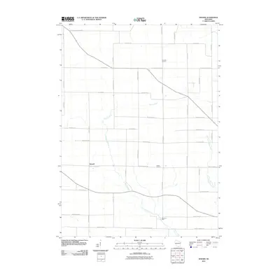
2010 Map of Newark
USGS Topo · Published 2010About this map
The settlement of Newark serves as a central anchor for this Rock County landscape, which is defined by a grid of named rural roads and the winding path of Raccoon Creek. This 2010 survey illustrates the persistence of early burial grounds like Newark Cemetery and Plymouth Cemetery, which remain key landmarks for local genealogists tracing family roots in the area. The hydrology of the region is punctuated by the Beckman Dam to the south, while the East Fork Raccoon Creek feeds into the main waterway from the east. The map's road network, including identifiers like S Smythe School Rd and W Plymouth Church Rd, preserves the names of long-standing community institutions that shaped the township's development over the decades.
Find a feature on this map
37 named features on this map. Tap any name to fly to it.
Don’t see what you’re looking for? This feature index may not catch every label — zoom into the map to look around manually.
Map Details
Editions of this 2010 Newark Map
This is the sole edition of this map. No revisions or reprints were ever made.
Other maps of this area

1891 · Janesville
USGS Topo · 1:62,500

1893 · Janesville
USGS Topo · 1:62,500

1893 · Brodhead
USGS Topo · 1:62,500

1918 · Rockford
USGS Topo · 1:62,500

1932 · Pecatonica
USGS Topo · 1:62,500

1936 · Pecatonica
USGS Topo · 1:62,500

1938 · Rockford
USGS Topo · 1:62,500

1954 · Rockford
USGS Topo · 1:250,000

1955 · Rockford
USGS Topo · 1:250,000

1958 · Rockford
USGS Topo · 1:250,000