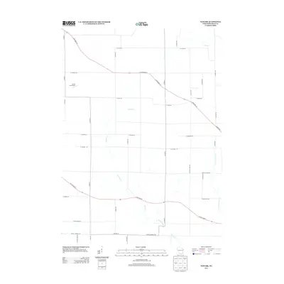
2013 Map of Newark
USGS Topo · Published 2013About this map
The agrarian landscape of Newark, Wisconsin, is defined by a dense network of family-named roads and the winding path of Raccoon Creek. This 2013 survey illustrates the enduring rural character of the region, where Mumm Field Airport stands as a notable landmark amidst large-scale agricultural plots. Primary transit is facilitated by S State Road 213 and W State Road 81, which cut diagonally across the grid. Genealogists may find interest in the road naming conventions, such as S Smythe School Rd and S Knutson Rd, which reflect the localized history of the town. Water features like Bass Cr and E Fork Raccoon Cr drain the territory, highlighting the natural topography that shaped early settlement patterns in Rock County.
Find a feature on this map
38 named features on this map. Tap any name to fly to it.
Don’t see what you’re looking for? This feature index may not catch every label — zoom into the map to look around manually.
Map Details
Editions of this 2013 Newark Map
This is the sole edition of this map. No revisions or reprints were ever made.
Other maps of this area

1891 · Janesville
USGS Topo · 1:62,500

1893 · Janesville
USGS Topo · 1:62,500

1893 · Brodhead
USGS Topo · 1:62,500

1918 · Rockford
USGS Topo · 1:62,500

1932 · Pecatonica
USGS Topo · 1:62,500

1936 · Pecatonica
USGS Topo · 1:62,500

1938 · Rockford
USGS Topo · 1:62,500

1954 · Rockford
USGS Topo · 1:250,000

1955 · Rockford
USGS Topo · 1:250,000

1958 · Rockford
USGS Topo · 1:250,000