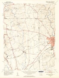
1953 Map of Newark West
USGS Topo · Published 1954About this map
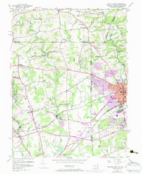
The Mason and Dixon Line serves as a prominent horizontal boundary across this 1953 survey, marking the intersection of Maryland, Pennsylvania, and Delaware. The expanding campus of the University of Delaware dominates the eastern edge at Newark, while the surrounding countryside is dotted with small rural crossroads like McClellandville and Strickersville. Industrial and transit corridors are well-defined, with the Baltimore and Ohio and Pennsylvania railroads cutting through the landscape to support local hubs like Elk Mills and Singerly.
Find a feature on this map
69 named features on this map. Tap any name to fly to it.
Don’t see what you’re looking for? This feature index may not catch every label — zoom into the map to look around manually.
Map Details
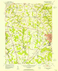
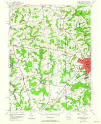
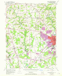
Editions of this 1953 Newark West Map
6 editions found
Other maps of this area

1898 · Elkton
USGS Topo · 1:62,500

1900 · Elkton
USGS Topo · 1:62,500

1901 · West Chester
USGS Topo · 1:62,500

1904 · West Chester
USGS Topo · 1:62,500

1904 · Coatesville
USGS Topo · 1:62,500

1904 · Wilmington
USGS Topo · 1:62,500

1906 · Coatesville
USGS Topo · 1:62,500

1906 · Wilmington
USGS Topo · 1:62,500

1917 · Elkton
USGS Topo · 1:62,500

1918 · Coatesville
USGS Topo · 1:62,500