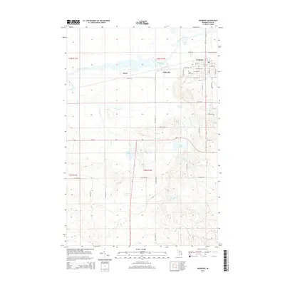
2014 Map of Newberry
USGS Topo · Published 2014About this map
The Tahquamenon River winds through this portion of Luce County, anchoring a landscape defined by the expansive Dollarville Flooding and the historic settlement patterns of the Upper Peninsula. To the east, the village of Newberry serves as the regional hub, with its residential grid extending from W John St down toward Forest Home Cem. The map illustrates the transition from the organized streetscapes of the village to the industrial and logging-related settlements of Dollarville and Natalie.
Find a feature on this map
58 named features on this map. Tap any name to fly to it.
Don’t see what you’re looking for? This feature index may not catch every label — zoom into the map to look around manually.
Map Details
Editions of this 2014 Newberry Map
This is the sole edition of this map. No revisions or reprints were ever made.
Other maps of this area
1931 · Gould City NE
USGS Topo · 1:31,680
1931 · Gould City NW
USGS Topo · 1:31,680
1931 · Gilchrist NW
USGS Topo · 1:31,680
1954 · Sault Sainte Marie
USGS Topo · 1:250,000
1956 · Sault Sainte Marie
USGS Topo · 1:250,000
1957 · Sault Sainte Marie
USGS Topo · 1:250,000
1958 · Sault Sainte Marie
USGS Topo · 1:250,000
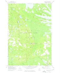
1962 · Auger Lake
USGS Topo · 1:24,000
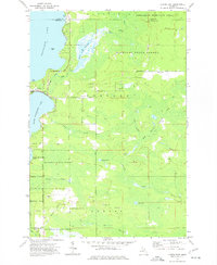
1973 · Curtis East
USGS Topo · 1:24,000
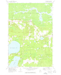
1973 · McMillan
USGS Topo · 1:24,000