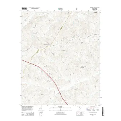
2014 Map of Newberry NW
USGS Topo · Published 2014About this map
Sumter National Forest lands dominate this part of the South Carolina Piedmont, where the boundary between Laurens Co and Newberry Co cuts diagonally across a landscape of creeks and historical crossroads. Small rural communities like Stomp Springs, Brickhouse Crossroads, and Cromer Crossroads anchor the road network, which includes the Whitmire Hwy and several family-named routes such as Jack Wilson Rd and McCrackin Rd.
Find a feature on this map
57 named features on this map. Tap any name to fly to it.
Don’t see what you’re looking for? This feature index may not catch every label — zoom into the map to look around manually.
Map Details
Editions of this 2014 Newberry NW Map
This is the sole edition of this map. No revisions or reprints were ever made.
Other maps of this area

1941 · Spartanburg
USGS Topo · 1:250,000

1953 · Spartanburg
USGS Topo · 1:250,000

1960 · Spartanburg
USGS Topo · 1:250,000

1963 · Spartanburg
USGS Topo · 1:250,000

1964 · Spartanburg
USGS Topo · 1:250,000

1968 · Newberry East
USGS Topo · 1:24,000

1969 · Whitmire South
USGS Topo · 1:24,000

1969 · Newberry NW
USGS Topo · 1:24,000

1969 · Sedalia
USGS Topo · 1:24,000
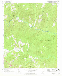
1969 · Philson Crossroads
USGS Topo · 1:24,000
Featured Places
- Cromer Crossroads, SC
- Eison Crossroads, SC
- Stomp Springs, SC
- Brickhouse Crossroads, SC
- Laurens County, SC