2016 Map of Newburg
USGS Topo · Published 2016About this map
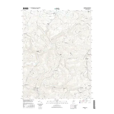
The planned subsistence community of Arthurdale stands at the northern edge of this Preston County landscape, characterized by its distinctive layout and proximity to Deckers Cr. Further south, the industrial and transit history of the region is evident in the cluster of rail-oriented settlements like Newburg, Hiorra, and Tunnelton. The Kingwood Tunnel and the J. Richard Taylor Bridge highlight the engineering required to navigate the area's complex drainage systems, including Three Fork Creek and Raccoon Cr. Numerous burial sites, such as Pratt Cem, Concord Cem, and Union Cem, are scattered across the ridges, providing valuable geographic markers for genealogical research. The map illustrates a transition from the agricultural heritage found at Browns Mill to the more concentrated residential pockets of Howesville and Independence, linked by a network of rural routes like Irish Ridge Rd and Birds Creek Rd.
Find a feature on this map
90 named features on this map. Tap any name to fly to it.
Don’t see what you’re looking for? This feature index may not catch every label — zoom into the map to look around manually.
Map Details
Editions of this 2016 Newburg Map
This is the sole edition of this map. No revisions or reprints were ever made.
Other maps of this area

1886 · St. George
USGS Topo · 1:125,000

1891 · St. George
USGS Topo · 1:125,000

1902 · Morgantown
USGS Topo · 1:62,500

1904 · Bruceton
USGS Topo · 1:62,500

1907 · Thornton
USGS Topo · 1:62,500

1907 · Kingwood
USGS Topo · 1:62,500

1925 · Kingwood
USGS Topo · 1:62,500

1925 · Morgantown
USGS Topo · 1:62,500

1926 · Thornton
USGS Topo · 1:62,500

1926 · Bruceton
USGS Topo · 1:62,500