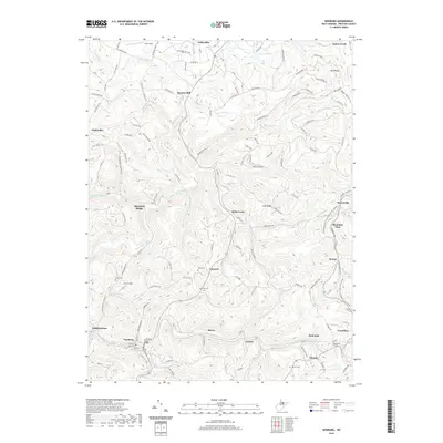
2019 Map of Newburg
USGS Topo · Published 2019About this map
Arthurdale stands as a focal point in this Preston County landscape, reflecting its historical significance as a planned New Deal community. The terrain is defined by a dense network of drainage systems, including Three Fork Creek and Fields Creek, which carve through the ridges and hollows. Transportation history is visible in the corridor of the WV Northern Rail-Trail, which traces the paths once vital to local industry. Significant engineering is noted near the southern border at the Kingwood Tunnel near Tunnelton. Genealogists will find a wealth of local landmarks such as Pratt Cemetery and Concord Cemetery, alongside smaller settlements like Browns Mill and Hiorra. The map also documents industrial activity through the Barlow Mine and local aviation at Lynn Airport, showing how the area balances small-town residence with rugged Appalachian geography.
Find a feature on this map
66 named features on this map. Tap any name to fly to it.
Don’t see what you’re looking for? This feature index may not catch every label — zoom into the map to look around manually.
Map Details
Editions of this 2019 Newburg Map
This is the sole edition of this map. No revisions or reprints were ever made.
Other maps of this area

1886 · St. George
USGS Topo · 1:125,000

1891 · St. George
USGS Topo · 1:125,000

1902 · Morgantown
USGS Topo · 1:62,500

1904 · Bruceton
USGS Topo · 1:62,500

1907 · Thornton
USGS Topo · 1:62,500

1907 · Kingwood
USGS Topo · 1:62,500

1925 · Kingwood
USGS Topo · 1:62,500

1925 · Morgantown
USGS Topo · 1:62,500

1926 · Thornton
USGS Topo · 1:62,500

1926 · Bruceton
USGS Topo · 1:62,500