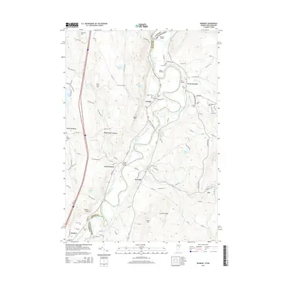
2015 Map of Newbury
USGS Topo · Published 2015About this map
The Connecticut River defines the border between New Hampshire and Vermont, winding through a fertile valley of meadows and oxbows. This modern survey captures the distinct settlement patterns on both banks, from the village of Bradford and the scattered hamlets of West Newbury and South Newbury to the east-bank towns of Haverhill and North Haverhill. The landscape is a mix of agricultural flats like Horse Meadow and prominent rises such as Pulaski Mtn and Catamount Ridge.
Find a feature on this map
101 named features on this map. Tap any name to fly to it.
Don’t see what you’re looking for? This feature index may not catch every label — zoom into the map to look around manually.
Map Details
Editions of this 2015 Newbury Map
This is the sole edition of this map. No revisions or reprints were ever made.
Other maps of this area

1928 · Rumney
USGS Topo · 1:62,500

1929 · Moosilauke
USGS Topo · 1:62,500

1931 · Mt. Cube
USGS Topo · 1:62,500

1931 · Woodsville
USGS Topo · 1:48,000

1932 · Rumney
USGS Topo · 1:62,500

1932 · Moosilauke
USGS Topo · 1:62,500

1933 · Mt. Cube
USGS Topo · 1:62,500

1935 · Woodsville
USGS Topo · 1:62,500

1941 · Woodsville
USGS Topo · 1:62,500

1949 · Portland
USGS Topo · 1:250,000