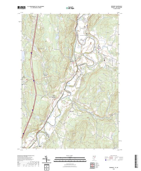
2024 Map of Newbury
USGS Topo · Published 2024About this map
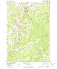
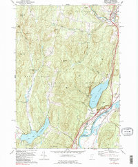
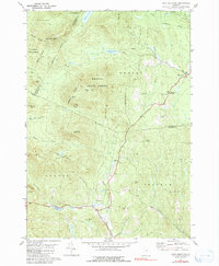
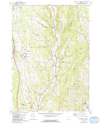
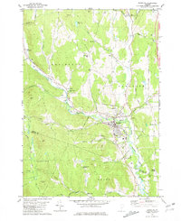
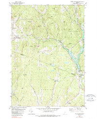
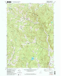
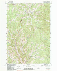
Connecticut River serves as the winding boundary between Vermont and New Hampshire on this map, carving a fertile valley through the heart of Newbury and Haverhill. The landscape is defined by the tight oxbows of the river, notably at Ox-Bow Meadows and Horse Meadow, where the shifting channel has left behind distinctive landforms. These meadows are flanked by significant local landmarks, including the Grafton County Courthouse and Dean Memorial Airport, while the village of Newbury sits perched above the floodplain.
Find a feature on this map
99 named features on this map. Tap any name to fly to it.
Don’t see what you’re looking for? This feature index may not catch every label — zoom into the map to look around manually.
Map Details
Editions of this 2024 Newbury Map
This is the sole edition of this map. No revisions or reprints were ever made.
Historical Maps of Haverhill Through Time
26 maps found
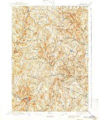
1896 Strafford
Orange County, VT
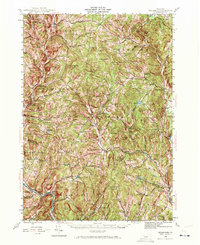
1944 Strafford
Orange County, VT

1947 Corinth
Orange County, VT

1973 East Corinth
Orange County, VT
1980 Brookfield
Orange County, VT
1981 Chelsea
Orange County, VT
1981 Fairlee
Orange County, VT
1981 Knox Mountain
Orange County, VT
1981 Randolph Center
Orange County, VT
1981 Randolph
Orange County, VT
1981 South Strafford
Orange County, VT
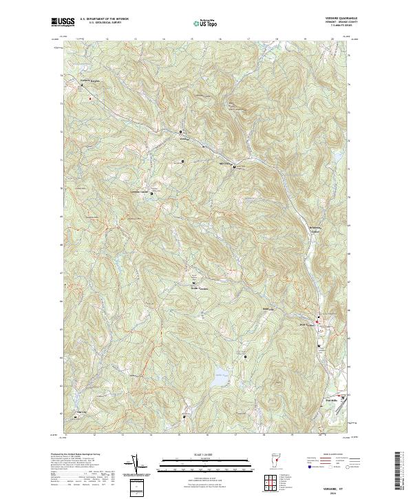
1981 Vershire
Orange County, VT
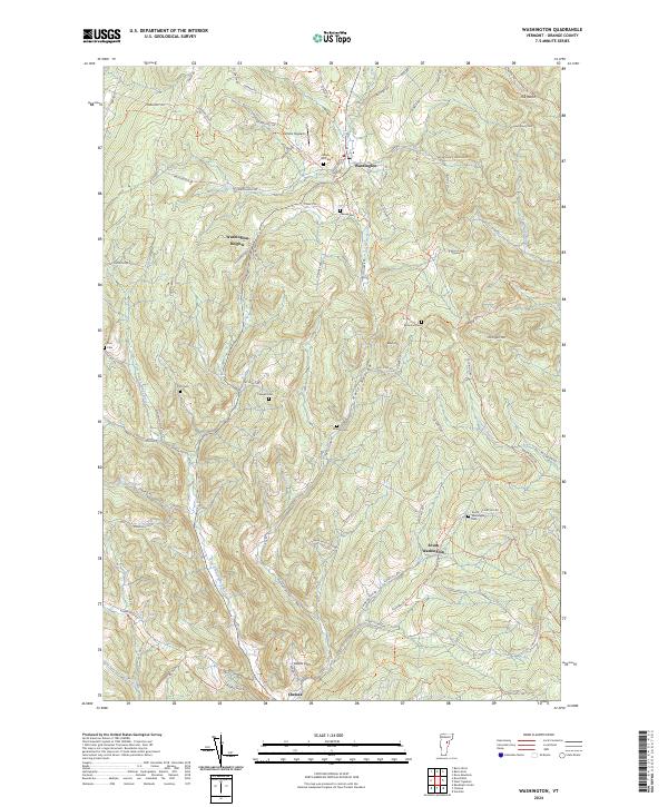
1981 Washington
Orange County, VT

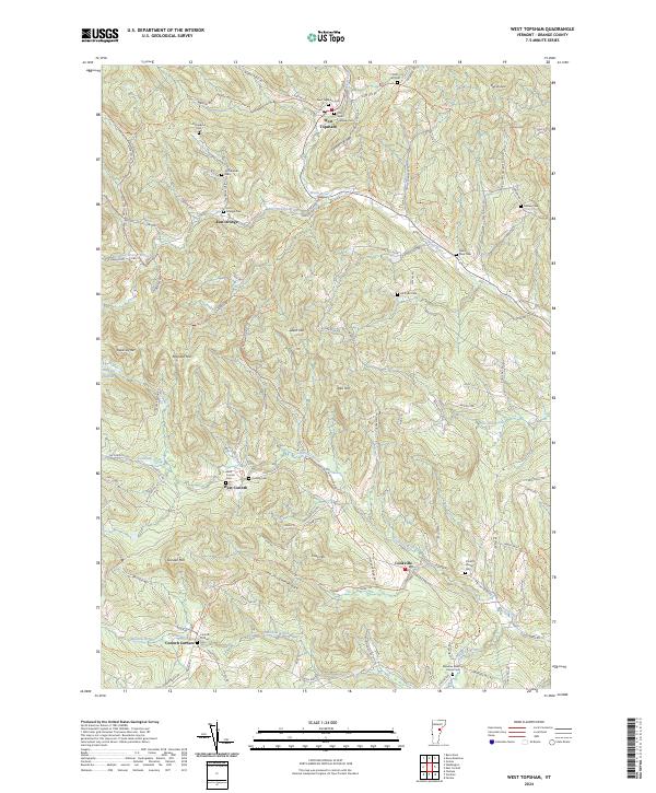
1981 West Topsham
Orange County, VT
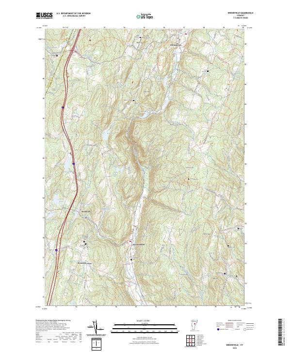
2024 Brookfield
Orange County, VT
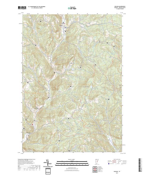
2024 Chelsea
Orange County, VT
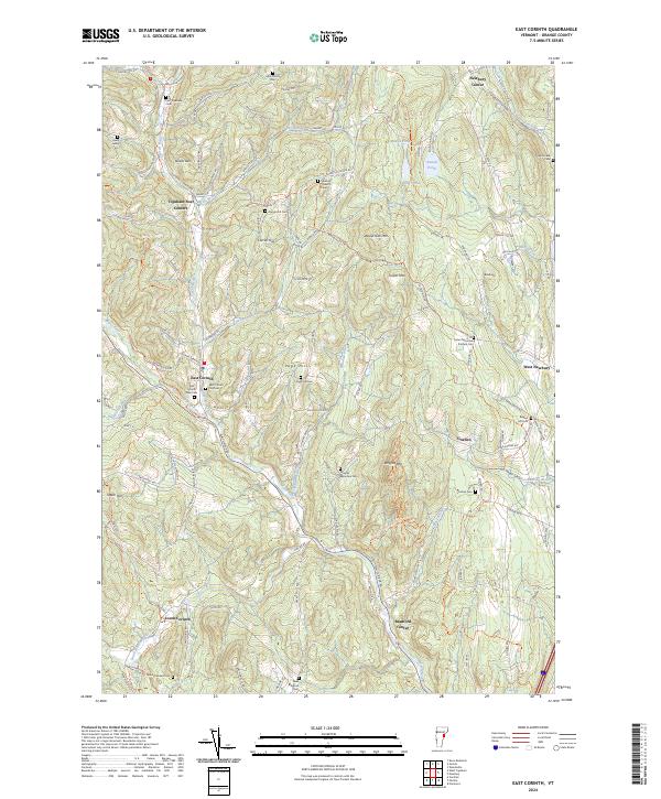
2024 East Corinth
Orange County, VT
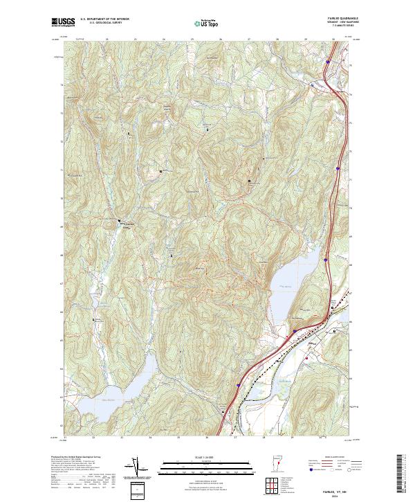
2024 Fairlee
Orange County, VT
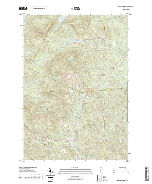
2024 Knox Mountain
Orange County, VT
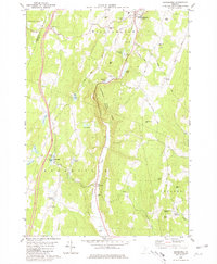
2024 Newbury
Orange County, VT
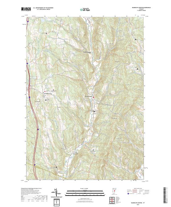
2024 Randolph Center
Orange County, VT
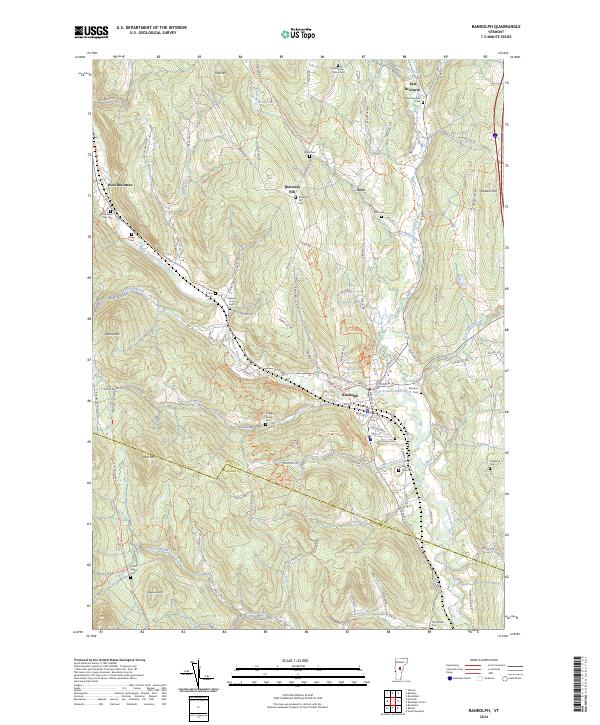
2024 Randolph
Orange County, VT
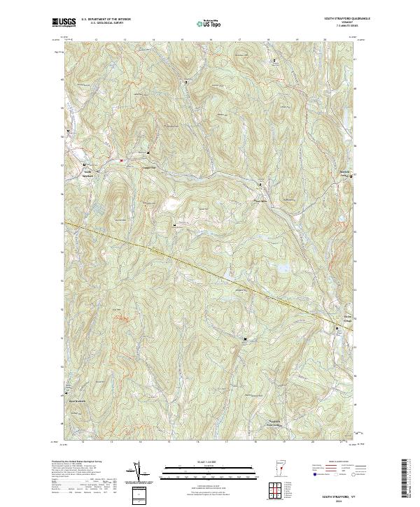
2024 South Strafford
Orange County, VT
2024 Vershire
Orange County, VT
2024 Washington
Orange County, VT
2024 West Topsham
Orange County, VT