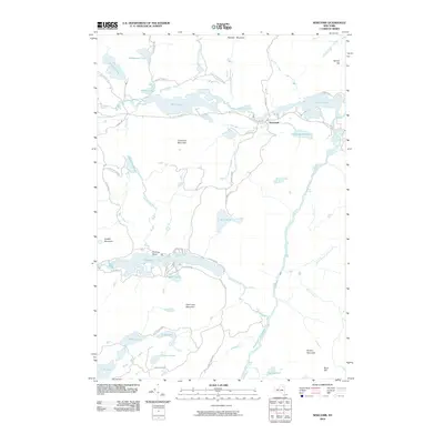
2010 Map of Newcomb
USGS Topo · Published 2010About this map
The settlement of Newcomb occupies a central position in this high-peaks landscape, situated between Rich Lake and Harris Lake. The territory is defined by the extensive water systems of the Adirondack Park, including the intricate Essex Chain Lakes and the winding Hudson River as it passes through the Blackwell Stillwater. The map reveals a network of recreational and access routes such as Goodnow Rd and Gooley Club Rd, which navigate around prominent summits like Goodnow Mountain and Polaris Mountain.
Find a feature on this map
49 named features on this map. Tap any name to fly to it.
Don’t see what you’re looking for? This feature index may not catch every label — zoom into the map to look around manually.
Map Details
Editions of this 2010 Newcomb Map
This is the sole edition of this map. No revisions or reprints were ever made.
Other maps of this area

1898 · Newcomb
USGS Topo · 1:62,500

1901 · Newcomb
USGS Topo · 1:62,500

1903 · Blue Mountain
USGS Topo · 1:62,500

1904 · Santanoni
USGS Topo · 1:62,500

1904 · Long Lake
USGS Topo · 1:62,500

1948 · Ogdensburg
USGS Topo · 1:250,000

1950 · Utica
USGS Topo · 1:250,000

1951 · Ogdensburg
USGS Topo · 1:250,000

1953 · Ogdensburg
USGS Topo · 1:250,000

1953 · Santanoni
USGS Topo · 1:62,500