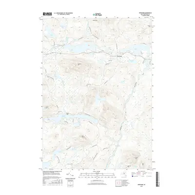
2016 Map of Newcomb
USGS Topo · Published 2016About this map
Newcomb sits at the heart of this Adirondack landscape, where the upper reaches of the Hudson River flow through a complex system of glacial lakes and mountain peaks. The map reveals a transition from the village center near Harris Lake and Belden Lake to the protected wilderness of the Adirondack Park Preserve. Significant water bodies such as Rich Lake and the Essex Chain Lakes dominate the southern and western portions of the quadrangle, connected by an intricate network of streams including the Goodnow River and Wolf Creek.
Find a feature on this map
57 named features on this map. Tap any name to fly to it.
Don’t see what you’re looking for? This feature index may not catch every label — zoom into the map to look around manually.
Map Details
Editions of this 2016 Newcomb Map
This is the sole edition of this map. No revisions or reprints were ever made.
Other maps of this area

1898 · Newcomb
USGS Topo · 1:62,500

1901 · Newcomb
USGS Topo · 1:62,500

1903 · Blue Mountain
USGS Topo · 1:62,500

1904 · Santanoni
USGS Topo · 1:62,500

1904 · Long Lake
USGS Topo · 1:62,500

1948 · Ogdensburg
USGS Topo · 1:250,000

1950 · Utica
USGS Topo · 1:250,000

1951 · Ogdensburg
USGS Topo · 1:250,000

1953 · Ogdensburg
USGS Topo · 1:250,000

1953 · Santanoni
USGS Topo · 1:62,500