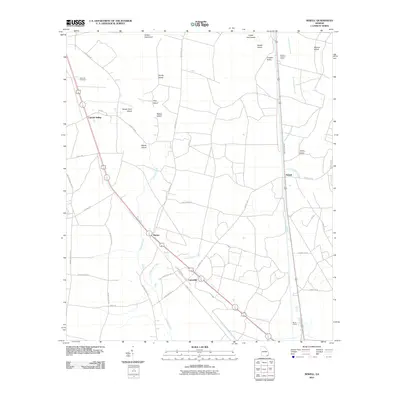
2011 Map of Newell
USGS Topo · Published 2011About this map
Newell and the small settlements of Uptonville and Mattox anchor this 2011 survey of the Charlton County landscape. The area is defined by a complex network of wetlands and hummocks, including Wilson Hammock, Sandy Island, and Cedar Hammocks. Transportation through these lowlands is facilitated by the rail line running through Cypress Siding and Burch Siding, alongside major local thoroughfares like Mizell Rd and Swamp Perimeter Rd. Historical land use is visible in the placement of the Winokur Lookout Tower and the Sand Hill Cemetery near the western edge. Hydrological features such as Spanish Creek, Little Spanish Creek, and Little Buffalo Creek wind through the terrain, separating named high points like Macks Island and Sweet Gum Island from the curiously named Trouble Valley.
Find a feature on this map
40 named features on this map. Tap any name to fly to it.
Don’t see what you’re looking for? This feature index may not catch every label — zoom into the map to look around manually.
Map Details
Editions of this 2011 Newell Map
This is the sole edition of this map. No revisions or reprints were ever made.
Other maps of this area

1917 · Nahunta
USGS Topo · 1:62,500

1917 · Boulogne
USGS Topo · 1:62,500

1918 · Folkston
USGS Topo · 1:62,500

1918 · Nahunta
USGS Topo · 1:62,500

1919 · Boulogne
USGS Topo · 1:62,500

1946 · Brunswick
USGS Topo · 1:250,000

1948 · Jacksonville
USGS Topo · 1:250,000

1948 · Brunswick
USGS Topo · 1:250,000

1953 · Waycross
USGS Topo · 1:250,000

1954 · Valdosta
USGS Topo · 1:250,000