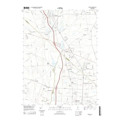
2014 Map of Newfield
USGS Topo · Published 2014About this map
The Maurice River serves as a natural boundary between Gloucester, Salem, and Cumberland counties, anchoring a region defined by scattered agricultural settlements and small residential clusters. Significant land use is evident in the transition from northern communities like Franklinville and Janvier down toward the northern edge of Vineland. Cultural landmarks such as Janvier Cem, Rose Hill Cem, and Alliance Cem provide essential anchor points for genealogical research, while aviation history is represented by both Kroelinger Airport and Alliance Airport. Water bodies like Willow Grove Lake and Malaga Lake break the landscape of southern New Jersey, connected by a network of runs including Scotland Run and Little Ease Run. The map illustrates a developed corridor along Delsea Dr, connecting established centers like Malaga, Newfield, and Brotmanville through a mix of rural and suburban layouts.
Find a feature on this map
181 named features on this map. Tap any name to fly to it.
Don’t see what you’re looking for? This feature index may not catch every label — zoom into the map to look around manually.
Map Details
Editions of this 2014 Newfield Map
This is the sole edition of this map. No revisions or reprints were ever made.
Other maps of this area

1890 · Hammonton
USGS Topo · 1:62,500

1890 · Tuckahoe
USGS Topo · 1:62,500

1890 · Bridgeton
USGS Topo · 1:62,500

1890 · Glassboro
USGS Topo · 1:62,500

1893 · Tuckahoe
USGS Topo · 1:62,500

1894 · Hammonton
USGS Topo · 1:62,500

1894 · Bridgeton
USGS Topo · 1:62,500

1898 · Glassboro
USGS Topo · 1:62,500

1898 · Hammonton
USGS Topo · 1:62,500

1899 · Vineland
USGS Topo · 1:125,000
Featured Places
- Vineland, NJ
- Newfield, NJ
- Brotmanville, Pittsgrove Township
- Upper Pittsgrove Township, NJ
- Pleasantville, Vineland