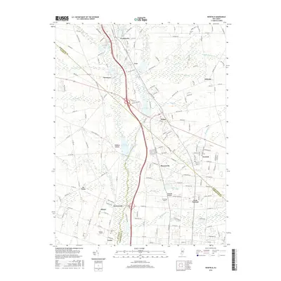
2016 Map of Newfield
USGS Topo · Published 2016About this map
North Vineland and the surrounding agricultural communities of southern New Jersey appear here in a period of modern expansion. The landscape is defined by the headwaters of the Maurice River, which flows south through a series of significant water bodies including Malaga Lake and Willow Grove Lake. This 2016 survey documents the historical Jewish agricultural colony of Alliance, alongside Brotmanville and Norma, offering a detailed look at these early 20th-century settlements. Further north, the convergence of major corridors like Delsea Dr and several county roads shapes the development of towns like Malaga, Franklinville, and Newfield. Local aviation is represented by Kroelinger Airport and Alliance Airport, while family history is grounded in sites like Rose Hill Cem and Janvier Cem. The map illustrates a distinctive pattern of wooded runs and branches, such as Scotland Run and Still Run, which weave between small residential clusters and larger townships.
Find a feature on this map
172 named features on this map. Tap any name to fly to it.
Don’t see what you’re looking for? This feature index may not catch every label — zoom into the map to look around manually.
Map Details
Editions of this 2016 Newfield Map
This is the sole edition of this map. No revisions or reprints were ever made.
Other maps of this area

1890 · Hammonton
USGS Topo · 1:62,500

1890 · Tuckahoe
USGS Topo · 1:62,500

1890 · Bridgeton
USGS Topo · 1:62,500

1890 · Glassboro
USGS Topo · 1:62,500

1893 · Tuckahoe
USGS Topo · 1:62,500

1894 · Hammonton
USGS Topo · 1:62,500

1894 · Bridgeton
USGS Topo · 1:62,500

1898 · Glassboro
USGS Topo · 1:62,500

1898 · Hammonton
USGS Topo · 1:62,500

1899 · Vineland
USGS Topo · 1:125,000
Featured Places
- Vineland, NJ
- Newfield, NJ
- Brotmanville, Pittsgrove Township
- Upper Pittsgrove Township, NJ
- Pleasantville, Vineland