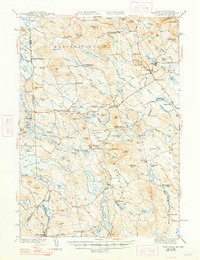
1944 Map of Newfield
USGS Topo · Published 1948About this map
Limerick and the surrounding borderlands of York Co and Carroll Co define this mid-century portrait of interior Maine and New Hampshire. The landscape is shaped by the winding courses of the Ossipee River and Little Ossipee River, which historically powered the local economy at sites like Limerick Mills, Ossipee Mills, and Milton Mills. This survey, conducted in the 1930s and early 1940s, captures a network of small upland settlements including Shady Nook, Sprague City, and Maplewood, many of which were centers of rural life before the post-war consolidation of services. Genealogists will find a wealth of family-named landmarks such as Emerys Corner, Stevens Cor, and Philpot Mtn. The presence of the Spinney Ch and numerous remote ponds like Granny Kent Pond and Shy Beaver Pd illustrates the dispersed nature of these hill-country communities during this era.
Find a feature on this map
125 named features on this map. Tap any name to fly to it.
Don’t see what you’re looking for? This feature index may not catch every label — zoom into the map to look around manually.
Map Details
Editions of this 1944 Newfield Map
2 editions found

Other maps of this area

1891 · Berwick
USGS Topo · 1:62,500

1891 · Kennebunk
USGS Topo · 1:62,500

1891 · Buxton
USGS Topo · 1:62,500

1891 · Newfield
USGS Topo · 1:62,500

1892 · Buxton
USGS Topo · 1:62,500

1893 · Kennebunk
USGS Topo · 1:62,500

1893 · Berwick
USGS Topo · 1:62,500

1893 · Buxton
USGS Topo · 1:62,500

1893 · Newfield
USGS Topo · 1:62,500

1896 · Sebago
USGS Topo · 1:62,500