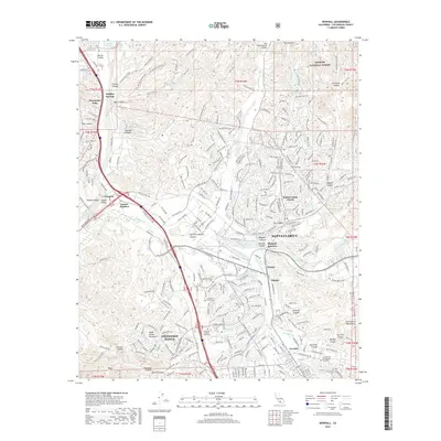
2018 Map of Newhall
USGS Topo · Published 2018About this map
Santa Clarita stands as a central hub of suburban expansion and education within this Los Angeles County study. The map documents a landscape defined by the convergence of the Santa Clara River and its South Fork, surrounded by the foothills of the San Gabriel Mountains and Santa Susana Mountains. Significant institutional development is visible, including the California Institute of the Arts and College of the Canyons in Valencia, alongside The Master's College and Seminary near the eastern edge.
Find a feature on this map
83 named features on this map. Tap any name to fly to it.
Don’t see what you’re looking for? This feature index may not catch every label — zoom into the map to look around manually.
Map Details
Editions of this 2018 Newhall Map
This is the sole edition of this map. No revisions or reprints were ever made.
Other maps of this area

1900 · Fernando
USGS Topo · 1:62,500

1901 · Southern California Sheet No. 1
USGS Topo · 1:250,000

1903 · Tejon
USGS Topo · 1:125,000

1903 · Camulos
USGS Topo · 1:125,000

1903 · Santa Susana
USGS Topo · 1:62,500

1904 · Southern California Sheet No. 1
USGS Topo · 1:250,000

1915 · Elizabeth Lake
USGS Topo · 1:125,000

1917 · Elizabeth Lake
USGS Topo · 1:125,000

1925 · Sylmar
USGS Topo · 1:24,000

1928 · Sylmar
USGS Topo · 1:24,000
Featured Places
- Santa Clarita, CA
- Ninetynine Oaks, CA
- Sulphur Springs, CA
- Pardee, Santa Clarita
- Bouquet Junction, Santa Clarita