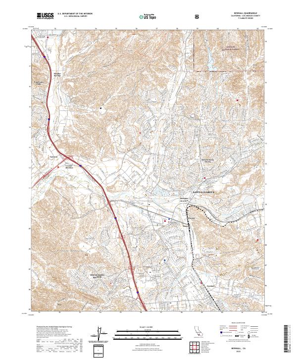
2022 Map of Newhall
USGS Topo · Published 2022About this map
Santa Clarita and its surrounding communities sit at the junction of the Santa Susana Mountains and the San Gabriel Mountains, where the Santa Clara River and the S Fork Santa Clara River shape the valley's development. This survey reveals a landscape of high-density suburban expansion interwoven with significant canyons like San Francisquito Canyon, Bouquet Canyon, and Haskell Canyon. The area’s character as a regional educational and judicial hub is evident through the presence of the California Institute of the Arts, College of the Canyons, and the Los Angeles County Santa Clarita Courthouse. While much of the terrain is dedicated to the residential neighborhoods of Stevenson Ranch, Valencia, and Saugus, the northern and eastern reaches are dominated by the Angeles National Forest, illustrating the sharp boundary between urban growth and protected mountain wilderness.
Find a feature on this map
62 named features on this map. Tap any name to fly to it.
Don’t see what you’re looking for? This feature index may not catch every label — zoom into the map to look around manually.
Map Details
Editions of this 2022 Newhall Map
This is the sole edition of this map. No revisions or reprints were ever made.
Other maps of this area

1900 · Fernando
USGS Topo · 1:62,500

1901 · Southern California Sheet No. 1
USGS Topo · 1:250,000

1903 · Tejon
USGS Topo · 1:125,000

1903 · Camulos
USGS Topo · 1:125,000

1903 · Santa Susana
USGS Topo · 1:62,500

1904 · Southern California Sheet No. 1
USGS Topo · 1:250,000

1915 · Elizabeth Lake
USGS Topo · 1:125,000

1917 · Elizabeth Lake
USGS Topo · 1:125,000

1925 · Sylmar
USGS Topo · 1:24,000

1928 · Sylmar
USGS Topo · 1:24,000