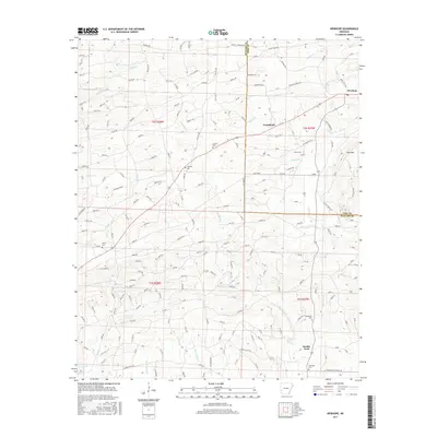
2017 Map of Newhope
USGS Topo · Published 2017About this map
Newhope serves as a primary settlement point in this southwestern Arkansas landscape, situated where White Oak Cr and Fallen Cr drainage systems meet. The terrain is defined by the winding course of the Muddy Fork river and the prominent rise of Pine Mtn in the east. Numerous small community centers such as Grandfield and the settlement also named Muddy Fork are scattered across the township lines of Howard and Pike counties.
Find a feature on this map
190 named features on this map. Tap any name to fly to it.
Don’t see what you’re looking for? This feature index may not catch every label — zoom into the map to look around manually.
Map Details
Editions of this 2017 Newhope Map
This is the sole edition of this map. No revisions or reprints were ever made.
Other maps of this area

1906 · Caddo Gap
USGS Topo · 1:125,000

1913 · De Queen
USGS Topo · 1:125,000

1936 · Athens
USGS Topo · 1:48,000

1942 · Athens
USGS Topo · 1:62,500

1950 · Mcalester
USGS Topo · 1:250,000

1955 · Little Rock
USGS Topo · 1:250,000

1956 · Little Rock
USGS Topo · 1:250,000

1959 · Umpire
USGS Topo · 1:62,500

1960 · Little Rock
USGS Topo · 1:250,000

1962 · McAlester
USGS Topo · 1:250,000