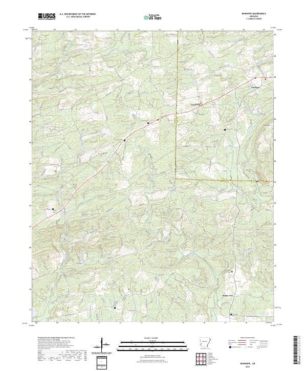
2024 Map of Newhope
USGS Topo · Published 2024About this map
The settlement of Newhope and the surrounding timberlands of the Ouachita foothills are defined by a network of private forest roads and winding creek bottoms. This modern 2024 survey documents the enduring rural character of the region, where family and community heritage is preserved in numerous burial grounds like Antioch Cem and Harmony Cem. The landscape is bisected by the Howard Co Pike Co line, with the community of Grandfield and the Muddy Fork settlement serving as local anchors.
Find a feature on this map
204 named features on this map. Tap any name to fly to it.
Don’t see what you’re looking for? This feature index may not catch every label — zoom into the map to look around manually.
Map Details
Editions of this 2024 Newhope Map
This is the sole edition of this map. No revisions or reprints were ever made.
Other maps of this area

1906 · Caddo Gap
USGS Topo · 1:125,000

1913 · De Queen
USGS Topo · 1:125,000

1936 · Athens
USGS Topo · 1:48,000

1942 · Athens
USGS Topo · 1:62,500

1950 · Mcalester
USGS Topo · 1:250,000

1955 · Little Rock
USGS Topo · 1:250,000

1956 · Little Rock
USGS Topo · 1:250,000

1959 · Umpire
USGS Topo · 1:62,500

1960 · Little Rock
USGS Topo · 1:250,000

1962 · McAlester
USGS Topo · 1:250,000