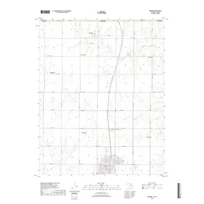
2022 Map of Newkirk
USGS Topo · Published 2022About this map
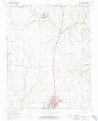
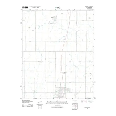
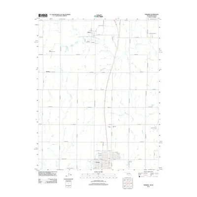
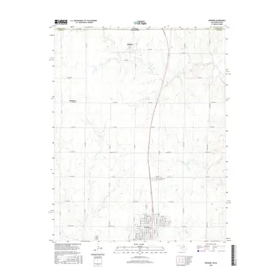
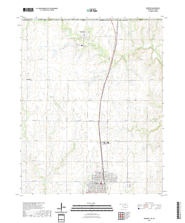
Newkirk, the county seat of Kay County, serves as the primary hub on this Oklahoma-Kansas border landscape. The town plan is clearly defined, anchored by the Kay County Courthouse and flanked by the Newkirk Cemetery and Washunga Cemetery. To the north, the historic Chilocco area is marked by the presence of the Chilocco Indian Cemetery near the headwaters of Chilocco Creek, indicating the deep indigenous and institutional history of this borderland. The terrain is a network of agricultural sections drained by watercourses like Bois d'Arc Creek and Spring Creek, with the small settlement of Middleton situated on the western edge of the quadrangle. The grid of section roads and the transition into Cowley County, Kansas, reflect the late-era development of this prairie region.
Find a feature on this map
86 named features on this map. Tap any name to fly to it.
Don’t see what you’re looking for? This feature index may not catch every label — zoom into the map to look around manually.
Map Details
Editions of this 2022 Newkirk Map
This is the sole edition of this map. No revisions or reprints were ever made.
Historical Maps of Newkirk Through Time
6 maps found