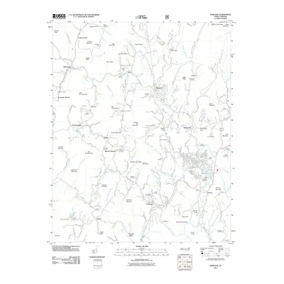
2011 Map of Newland
USGS Topo · Published 2011About this map
Newland, the county seat of Avery County, serves as the central hub of this mountain landscape where the North Toe River and Kentucky Creek converge. The area is characterized by a dense network of family-named landmarks and small communities like Montezuma, Crossnore, and Pineola, reflecting a long history of high-country settlement. Genealogists will find a wealth of data in the numerous burial grounds documented, including Buchanan Cemetery, Summerow Cemetery, and Cuthbertson Cemetery.
Find a feature on this map
173 named features on this map. Tap any name to fly to it.
Don’t see what you’re looking for? This feature index may not catch every label — zoom into the map to look around manually.
Map Details
Editions of this 2011 Newland Map
This is the sole edition of this map. No revisions or reprints were ever made.
Other maps of this area

1891 · Roan Mountain
USGS Topo · 1:125,000

1893 · Cranberry
USGS Topo · 1:125,000

1894 · Roan Mountain
USGS Topo · 1:125,000

1895 · Cranberry
USGS Topo · 1:125,000

1899 · Cranberry
USGS Topo · 1:125,000

1900 · Mount Mitchell
USGS Topo · 1:125,000

1902 · Cranberry
USGS Topo · 1:125,000

1902 · Mount Mitchell
USGS Topo · 1:125,000

1904 · Roan Mountain
USGS Topo · 1:125,000

1905 · Morganton
USGS Topo · 1:125,000