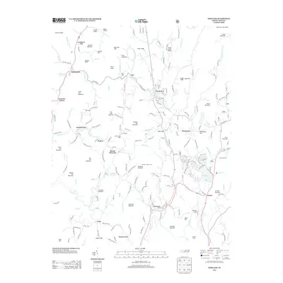
2013 Map of Newland
USGS Topo · Published 2013About this map
Newland serves as a central hub in this high-altitude landscape where the N Toe River and Linville River both originate. The map documents a cluster of traditional mountain communities including Montezuma, Crossnore, and Pineola, connected by winding roads like Old Montezuma Rd. The terrain is defined by dramatic peaks and ridges, from Sugar Mountain in the northeast to Hawshaw Mountain and its Hawshaw Lookout Tower in the south. This 2013 survey illustrates the modern layout of recreation and seasonal residency, featuring Camp Yonahnoka and the residential development surrounding Land Harbors Lake. Along the western edge, the small settlements of Minneapolis and Chestnut Dale sit among the headwaters of the N Toe River, reflecting the area's long-standing agricultural and timber-based spatial organization.
Find a feature on this map
192 named features on this map. Tap any name to fly to it.
Don’t see what you’re looking for? This feature index may not catch every label — zoom into the map to look around manually.
Map Details
Editions of this 2013 Newland Map
This is the sole edition of this map. No revisions or reprints were ever made.
Other maps of this area

1891 · Roan Mountain
USGS Topo · 1:125,000

1893 · Cranberry
USGS Topo · 1:125,000

1894 · Roan Mountain
USGS Topo · 1:125,000

1895 · Cranberry
USGS Topo · 1:125,000

1899 · Cranberry
USGS Topo · 1:125,000

1900 · Mount Mitchell
USGS Topo · 1:125,000

1902 · Cranberry
USGS Topo · 1:125,000

1902 · Mount Mitchell
USGS Topo · 1:125,000

1904 · Roan Mountain
USGS Topo · 1:125,000

1905 · Morganton
USGS Topo · 1:125,000