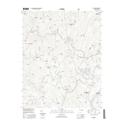
2016 Map of Newland
USGS Topo · Published 2016About this map
Newland stands at the heart of this high-elevation landscape, where the headwaters of the North Toe River and Linville River diverge across the Tennessee Valley Divide. The settlement pattern reflects the complex topography of the Blue Ridge, with communities like Montezuma, Linville, and Crossnore established along the winding paths of the Linville River. Genealogists will find a high density of family-named burial sites, including Buchanan Cem, Guy Cem, and Cuthbertson Cem, which speak to the deep-rooted kinship ties in these mountain coves. The presence of Pisgah National Forest dominates the higher ridges such as Blood Camp Ridge and Big Haw Mtn, while the development around Lake Kawana and Land Harbors Lake indicates the area's later evolution into a center for recreation. Tracing the old transport corridors, from Railroad St in Newland to the Old Toe River Rd, reveals how geography dictated the movement of people and goods through these gaps.
Find a feature on this map
162 named features on this map. Tap any name to fly to it.
Don’t see what you’re looking for? This feature index may not catch every label — zoom into the map to look around manually.
Map Details
Editions of this 2016 Newland Map
This is the sole edition of this map. No revisions or reprints were ever made.
Other maps of this area

1891 · Roan Mountain
USGS Topo · 1:125,000

1893 · Cranberry
USGS Topo · 1:125,000

1894 · Roan Mountain
USGS Topo · 1:125,000

1895 · Cranberry
USGS Topo · 1:125,000

1899 · Cranberry
USGS Topo · 1:125,000

1900 · Mount Mitchell
USGS Topo · 1:125,000

1902 · Cranberry
USGS Topo · 1:125,000

1902 · Mount Mitchell
USGS Topo · 1:125,000

1904 · Roan Mountain
USGS Topo · 1:125,000

1905 · Morganton
USGS Topo · 1:125,000