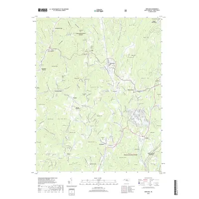
2019 Map of Newland
USGS Topo · Published 2019About this map
Newland and the high elevations of Avery County are defined by a complex network of ridges and river headwaters. The N Toe River and Linville River originate here, carved into a landscape where massive peaks like Sugar Mtn and Bald Mtn overlook a series of small, interconnected settlements. Deeply rooted in the local topography, communities such as Montezuma, Pineola, and Crossnore are linked by historic routes like Old Toe River Rd and the Blue Ridge Pkwy, which skirts the southern boundary.
Find a feature on this map
183 named features on this map. Tap any name to fly to it.
Don’t see what you’re looking for? This feature index may not catch every label — zoom into the map to look around manually.
Map Details
Editions of this 2019 Newland Map
This is the sole edition of this map. No revisions or reprints were ever made.
Other maps of this area

1891 · Roan Mountain
USGS Topo · 1:125,000

1893 · Cranberry
USGS Topo · 1:125,000

1894 · Roan Mountain
USGS Topo · 1:125,000

1895 · Cranberry
USGS Topo · 1:125,000

1899 · Cranberry
USGS Topo · 1:125,000

1900 · Mount Mitchell
USGS Topo · 1:125,000

1902 · Cranberry
USGS Topo · 1:125,000

1902 · Mount Mitchell
USGS Topo · 1:125,000

1904 · Roan Mountain
USGS Topo · 1:125,000

1905 · Morganton
USGS Topo · 1:125,000