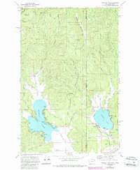
1973 Map of Newman Lake
USGS Topo · Published 1986About this map
Newman Lake and Hauser Lake dominate the lower half of this landscape, situated right at the boundary where Washington meets Idaho. The 1970s terrain is characterized by the transition from the high peaks of Mount Spokane State Park and Ragged Mountain in the north down to the shoreline residential developments of Hauser and the Prairie land near Rathdrum. Numerous small inlets and points define the Newman Lake waterfront, including Honeymoon Bay, Sutton Bay, and Bass Point. The northern forested reaches are marked by a network of drainage systems like Thompson Creek and Green Mountain Creek, while the eastern portion extends into the Coeur d'Alene National Forest. This survey captures the region's recreational and residential character, showing established access points like the Homestead Campground and various boat ramps alongside local infrastructure like the Fire Sta and Gravel Pit.
Find a feature on this map
46 named features on this map. Tap any name to fly to it.
Don’t see what you’re looking for? This feature index may not catch every label — zoom into the map to look around manually.
Map Details
Editions of this 1973 Newman Lake Map
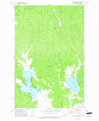
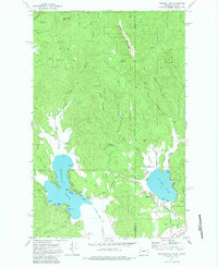
3 editions found
Other maps of this area

1901 · Spokane
USGS Topo · 1:125,000

1903 · Rathdrum
USGS Topo · 1:125,000

1943 · Mt Spokane
USGS Topo · 1:62,500

1949 · Greenacres
USGS Topo · 1:62,500

1950 · Mt Spokane
USGS Topo · 1:62,500

1951 · Greenacres
USGS Topo · 1:62,500

1955 · Spokane
USGS Topo · 1:250,000

1957 · Coeur D'Alene
USGS Topo · 1:62,500

1958 · Spokane
USGS Topo · 1:250,000

1961 · Rathdrum
USGS Topo · 1:24,000