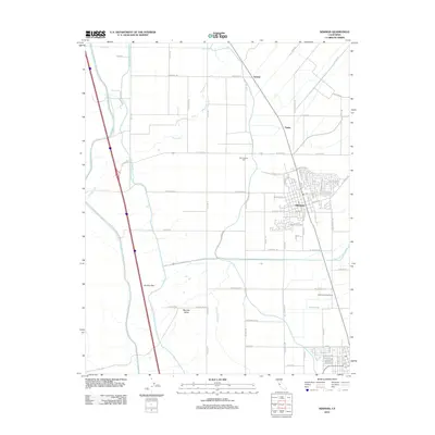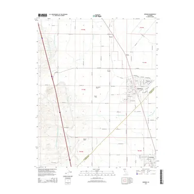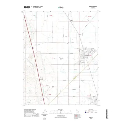
2021 Map of Newman
USGS Topo · Published 2021About this map
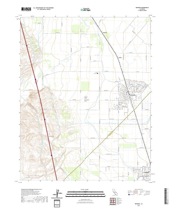
Newman and the northern edge of Gustine anchor this section of the San Joaquin Valley, where the region's agricultural dependency on sophisticated water engineering is clearly visible. The landscape is bisected by major infrastructure projects, including the Governor Edmund G Brown California Aqueduct and the Delta-Mendota Canal, which skirt the foothills of the Coast Ranges to the west. Between the hills and the valley floor, natural features like Orestimba Cr meet man-made diversions such as the Newman Waste-Way.
Find a feature on this map
85 named features on this map. Tap any name to fly to it.
Don’t see what you’re looking for? This feature index may not catch every label — zoom into the map to look around manually.
Map Details
Editions of this 2021 Newman Map
This is the sole edition of this map. No revisions or reprints were ever made.
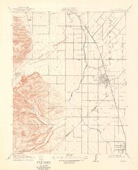
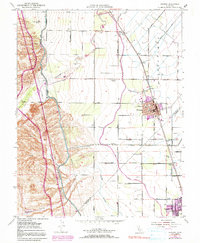
Historical Maps of Newman Through Time
6 maps found