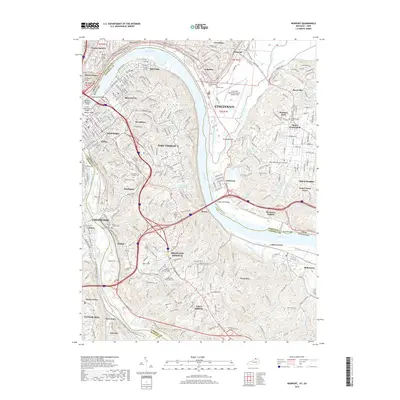
2019 Map of Newport
USGS Topo · Published 2019About this map
The Ohio River carves a deep arc between the bustling urban centers of Cincinnati and Northern Kentucky, creating a landscape defined by its river crossings and steep hillsides. Spanning the water, notable structures like the Daniel Beard Bridge and the L & N Pedestrian Bridge connect the Kentucky cities of Newport and Covington with their Ohio neighbors. The map reveals the extensive industrial and transport infrastructure of the region, including the Cincinnati Municipal Airport-Lunken Field situated within the river's plain at Turkey Bottom.
Find a feature on this map
84 named features on this map. Tap any name to fly to it.
Don’t see what you’re looking for? This feature index may not catch every label — zoom into the map to look around manually.
Map Details
Editions of this 2019 Newport Map
This is the sole edition of this map. No revisions or reprints were ever made.
Other maps of this area

1898 · East Cincinnati
USGS Topo · 1:62,500

1914 · East Cincinnati
USGS Topo · 1:62,500

1914 · West Cincinnati
USGS Topo · 1:62,500

1929 · Alexandria
USGS Topo · 1:48,000

1936 · Alexandria
USGS Topo · 1:62,500

1950 · Independence
USGS Topo · 1:24,000

1950 · Covington
USGS Topo · 1:24,000

1952 · Newport
USGS Topo · 1:24,000

1953 · Withamsville
USGS Topo · 1:24,000

1953 · New Richmond
USGS Topo · 1:24,000