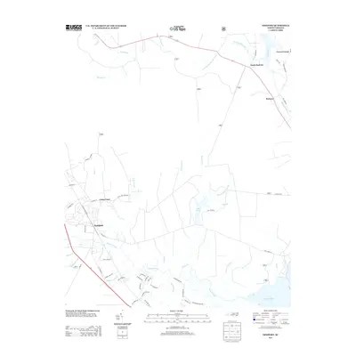
2013 Map of Newport
USGS Topo · Published 2013About this map
The Newport River and its intricate network of wetlands define this Carteret County landscape as it appeared in the early 21st century. The town of Newport is the primary center of activity, situated near the confluence of Deep Cr and Smiths Swamp Br. To the northeast, the historic water-borne transit route of the Harlowe Canal connects toward the Clubfoot Cr drainage, passing near settlements like Harlowe and North Harlowe.
Find a feature on this map
63 named features on this map. Tap any name to fly to it.
Don’t see what you’re looking for? This feature index may not catch every label — zoom into the map to look around manually.
Map Details
Editions of this 2013 Newport Map
This is the sole edition of this map. No revisions or reprints were ever made.
Other maps of this area

1949 · Havelock
USGS Topo · 1:24,000

1949 · Beaufort
USGS Topo · 1:24,000

1949 · Merrimon
USGS Topo · 1:24,000

1949 · Newport
USGS Topo · 1:24,000

1949 · Salter Path
USGS Topo · 1:24,000

1949 · Mansfield
USGS Topo · 1:24,000

1949 · Cherry Point
USGS Topo · 1:24,000

1949 · Core Creek
USGS Topo · 1:24,000

1949 · Masontown
USGS Topo · 1:24,000

1951 · Salter Path
USGS Topo · 1:24,000