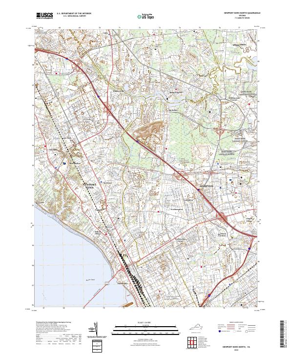
2022 Map of Newport News North
USGS Topo · Published 2022About this map
Newport News and Hampton dominate this coastal landscape, showing a dense network of suburban and industrial development along the James River. The map captures the complex geography of the Virginia Peninsula, where the waters of Kiln Creek and Newmarket Creek weave through established residential communities like Hilton Village and Aberdeen Gardens. The presence of the Big Bethel Reservoir and the expansive grounds of Langley Air Force Base illustrate the region's critical military and utility infrastructure. Numerous cemeteries, including New Bethel Baptist Church Cem and Hebrew Cem, are preserved amidst the expanding street grids, offering valuable points of reference for local historians. Educational institutions such as Christopher Newport University and the Strayer University Newport News Campus anchor the northern and western districts, reflecting the area's mid-20th-century growth into a major urban hub.
Find a feature on this map
81 named features on this map. Tap any name to fly to it.
Don’t see what you’re looking for? This feature index may not catch every label — zoom into the map to look around manually.
Map Details
Editions of this 2022 Newport News North Map
This is the sole edition of this map. No revisions or reprints were ever made.
Other maps of this area

1907 · Norfolk
USGS Topo · 1:125,000

1907 · Yorktown
USGS Topo · 1:62,500

1907 · Hampton
USGS Topo · 1:62,500

1919 · Smithfield
USGS Topo · 1:62,500

1921 · Newport News
USGS Topo · 1:62,500

1943 · Yorktown
USGS Topo · 1:62,500

1943 · Richmond
USGS Topo · 1:250,000

1944 · Hampton
USGS Topo · 1:24,000

1944 · Yorktown
USGS Topo · 1:24,000

1944 · Messick
USGS Topo · 1:24,000