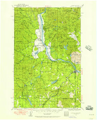
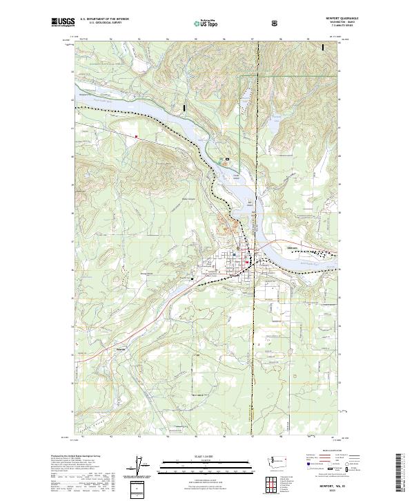
1936 Map of Newport
USGS Topo · Published 1956About this map
The Pend Oreille River corridor in the mid-1930s is defined by a dense network of timber-country settlements and rural school districts. Near the bend in the river, the Indian Mission and settlements like Cusick, Usk, and Dalkena served as hubs for the surrounding logging and agricultural land. The transportation geography is dominated by competing rail lines, including the Great Northern and the Chicago Milwaukee St Paul and Pacific, which trace the riverbanks and facilitate movement across the Washington-Idaho border. To the west, the rugged terrain of the Kaniksu National Forest rises toward Calispell Pk, while the southern lowlands are dotted with numerous small lakes like Diamond Lake and Eloika Lake. This map reveals a landscape of community-centered education, with numerous local institutions such as Sherman Sch, Rogers Sch, and Fertile Valley Sch serving families in these isolated valleys before school consolidation moved these centers into larger towns like Newport.
Find a feature on this map
150 named features on this map. Tap any name to fly to it.
Don’t see what you’re looking for? This feature index may not catch every label — zoom into the map to look around manually.
Map Details
Editions of this 1936 Newport Map
2 editions found

Historical Maps of Newport Through Time
9 maps found
1936 Newport
Pend Oreille County, WA
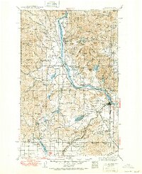
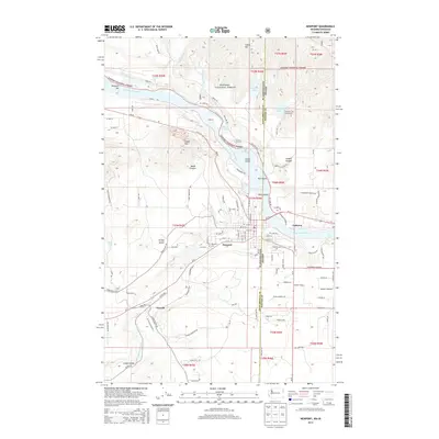
1942 Newport
Pend Oreille County, WA
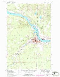
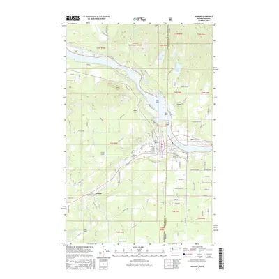
1968 Newport
Pend Oreille County, WA
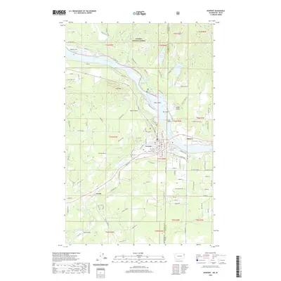
1996 Newport
Pend Oreille County, WA

2011 Newport
Pend Oreille County, WA
2014 Newport
Pend Oreille County, WA
2017 Newport
Pend Oreille County, WA
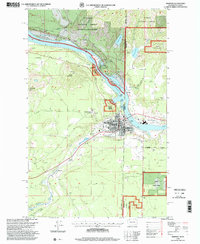
2020 Newport
Pend Oreille County, WA
2023 Newport
Pend Oreille County, WA