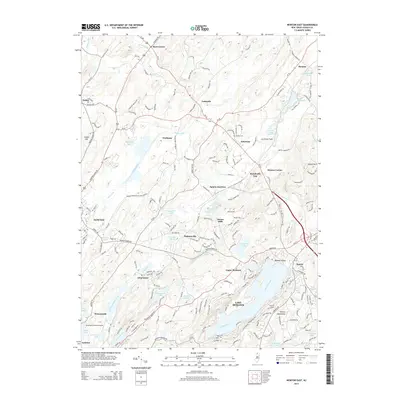
2014 Map of Newton East
USGS Topo · Published 2014About this map
Lafayette and Newton anchor this topographic survey of Sussex County, where the transition from settled valleys to the Sparta Mountains is defined by a dense network of water bodies and historic crossroads. The landscape is carved by the Paulins Kill in the north and dotted with numerous glacial lakes and reservoirs, including the expansive Lake Mohawk and Lake Grinnell. Small hamlets and historic junctions like Warbasse, Ackerson, and Pinkneyville appear alongside family-named landmarks such as Vaughn Cem.
Find a feature on this map
204 named features on this map. Tap any name to fly to it.
Don’t see what you’re looking for? This feature index may not catch every label — zoom into the map to look around manually.
Map Details
Editions of this 2014 Newton East Map
This is the sole edition of this map. No revisions or reprints were ever made.
Other maps of this area

1888 · Franklin
USGS Topo · 1:62,500

1888 · Hackettstown
USGS Topo · 1:62,500

1888 · Lake Hopatcong
USGS Topo · 1:62,500

1891 · Wallpack
USGS Topo · 1:62,500

1893 · Wallpack
USGS Topo · 1:62,500

1894 · Hackettstown
USGS Topo · 1:62,500

1894 · Lake Hopatcong
USGS Topo · 1:62,500

1894 · Franklin
USGS Topo · 1:62,500

1897 · Franklin
USGS Topo · 1:62,500

1898 · Lake Hopatcong
USGS Topo · 1:62,500